

(fast) Rund um den Bodensee
Toller Radweg mit schöner Landschaft und mann braucht kaum Kondition. Höchstens Nerven für die vielen Radfahrer =:o)
Gestartet sind wir in Konstant Bahnhof. Am ersten Tag bis Friedrichshafen (ca 84 km)
wo wir in einem Hostel untergekommen sind.
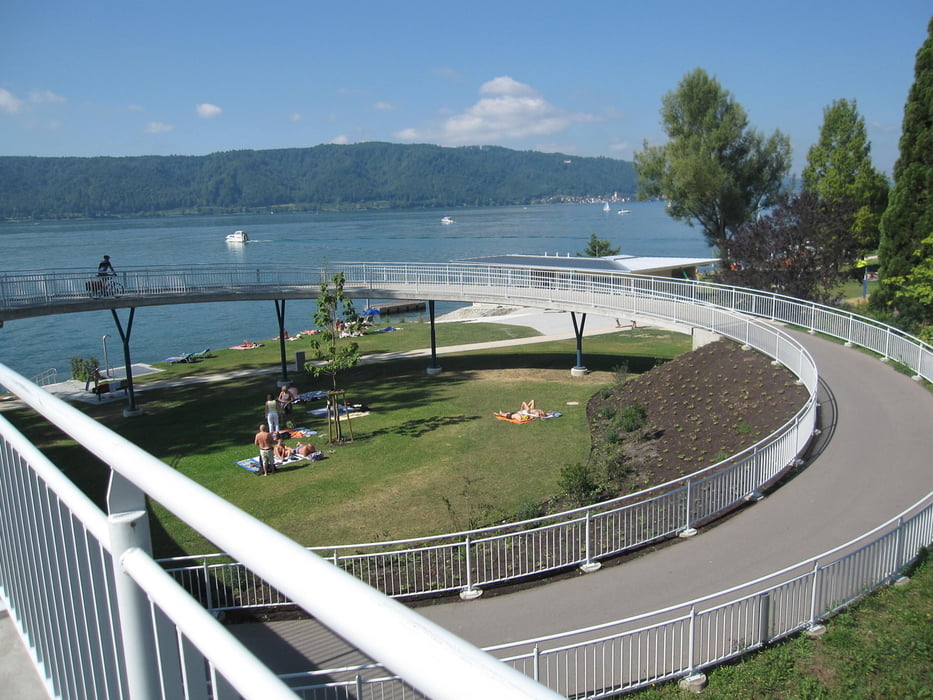
Am zweiten Tag noch einen kurzen Abstecher einem Fluss entlang bis nach Bregenz( ca 46 km) ! In Lochau noch ein wenig im Bodensee gebadet =:o)
In Bregenz bei einer Familie in einem Privatzimmer genächtigt! Dies vorher zuhause im Internet gesichtet. Super schöne Sache mit Privatfrühstück im Garten!
Abends bei den Bregenzer Festspielen. Überwältigt von der grösse des Anlasses.
Am Sonntag (3. Tag) dann weiter nach Rohmanshorn (ca. 40 km) wo wir dann nach eienem weiteren Schwumm im Bodensee in den Zug nach Bern verladen haben.
Die absolut schönste Radstrecke ist zwischen Bregenz und Rheineck!!
galéria trás


Mapa trasy a výškový profil
Minimum height 342 m
Maximum height 542 m
More about the tour author
|
|
zoetteler |
komentáre

Mit dem Zug nach Konstanz und mit dem Zug von Rohmanshorn wieder nach Hause
GPS trasy
Trackpoints-
GPX / Garmin Map Source (gpx) download
-
TCX / Garmin Training Center® (tcx) download
-
CRS / Garmin Training Center® (crs) download
-
Google Earth (kml) download
-
G7ToWin (g7t) download
-
TTQV (trk) download
-
Overlay (ovl) download
-
Fugawi (txt) download
-
Kompass (DAV) Track (tk) download
-
list trasy (pdf) download
-
Original file of the author (gpx) download
More about the tour author
|
|
zoetteler |
Add to my favorites
Remove from my favorites
Edit tags
Open track
My score
Rate