Start und Ziel dieser Wanderung in der Gemeinde Reichshof im Bergischen Land ist der WandernParkplatz am L342.
Die strecke fängt an auf die gegenliegende Straßenseite.
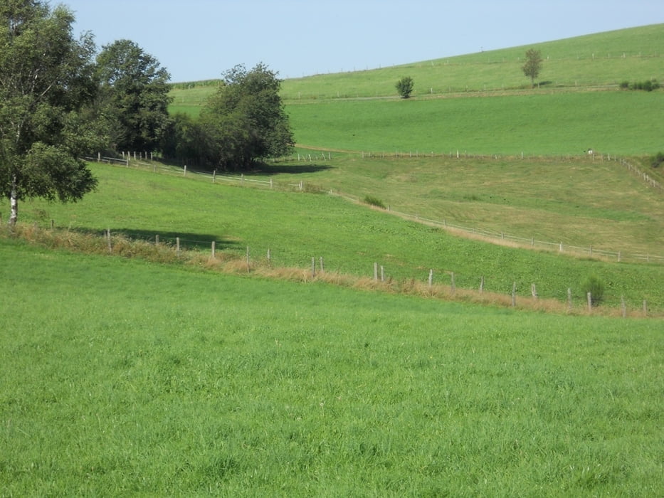
Der Rundwanderweg bietet sowohl tiefe Einblilcke in landwirtschaftlich genutzte Bezirke,Die Faszination am Golfen,
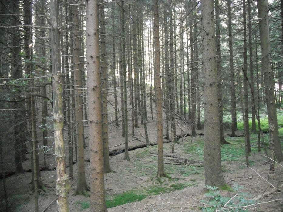
wie auch in Forstgebiete im eine anspruchsvolle und landschaftlich schöne Strecke in eines der
Naturschutzgebiete der Wacholderheide bei Wildbergerhütte.
galéria trás
Mapa trasy a výškový profil
Minimum height 265 m
Maximum height 415 m
komentáre

WandernParkplatz am L342.
GPS trasy
Trackpoints-
GPX / Garmin Map Source (gpx) download
-
TCX / Garmin Training Center® (tcx) download
-
CRS / Garmin Training Center® (crs) download
-
Google Earth (kml) download
-
G7ToWin (g7t) download
-
TTQV (trk) download
-
Overlay (ovl) download
-
Fugawi (txt) download
-
Kompass (DAV) Track (tk) download
-
list trasy (pdf) download
-
Original file of the author (gpx) download
Add to my favorites
Remove from my favorites
Edit tags
Open track
My score
Rate


