


Kleiner Rundkurs mit Asphalt-Schotter und Waldweganteilen
Mein Start und Endpunkt war in Hasloch am Main.
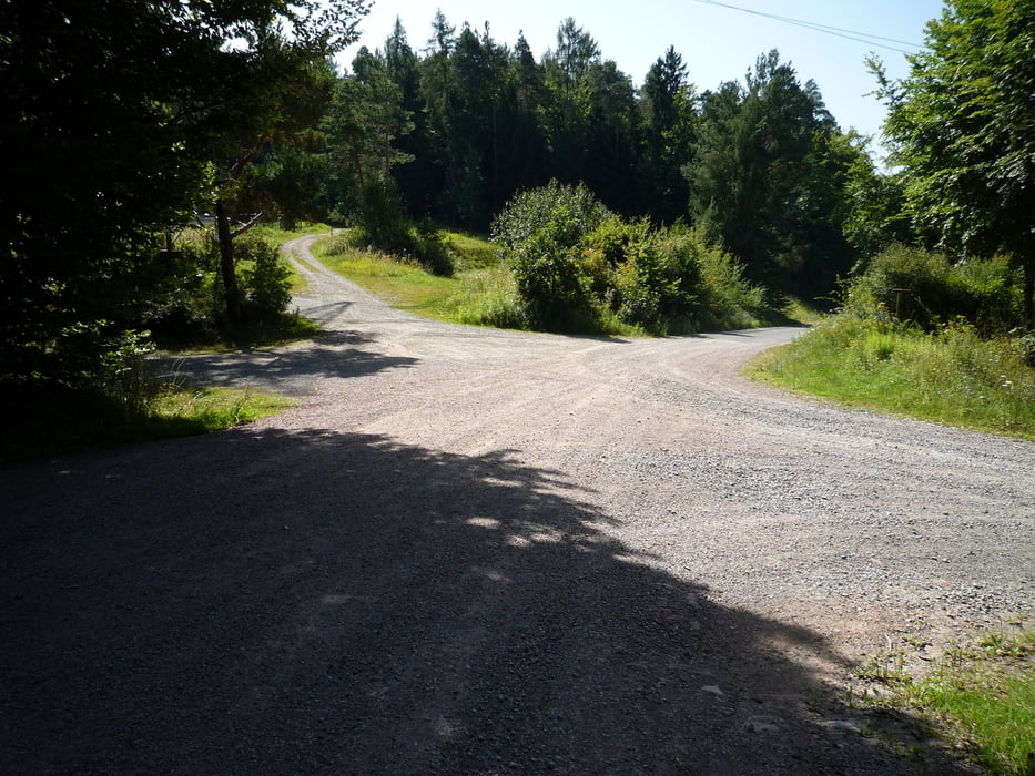
Von hier aus geht es auf der wenig befahrenen Straße auf den Hasselberg, vorbei an der Schutzhütte weiter auf dem Schotterweg zum Sandacker.
Am Sandacker den Weg in Richtung Rohrbrunn bis zum Forsthaus "Dianalust" fahren, dann links bis zur Wegkreuzung Eselsweg.
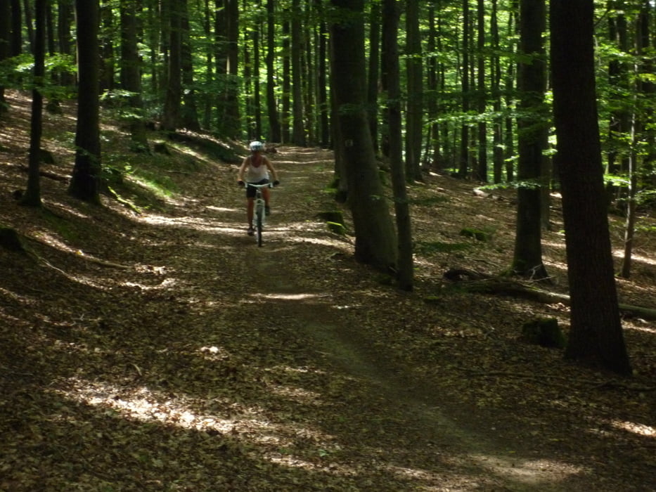
Auf dem Eselsweg geht es auf einem teilweise sehr schönen Waldweg bis zum Rohrbrunn.
Ab hier bergab auf einem Asphaltweg bis zur Haseltalbrücke.
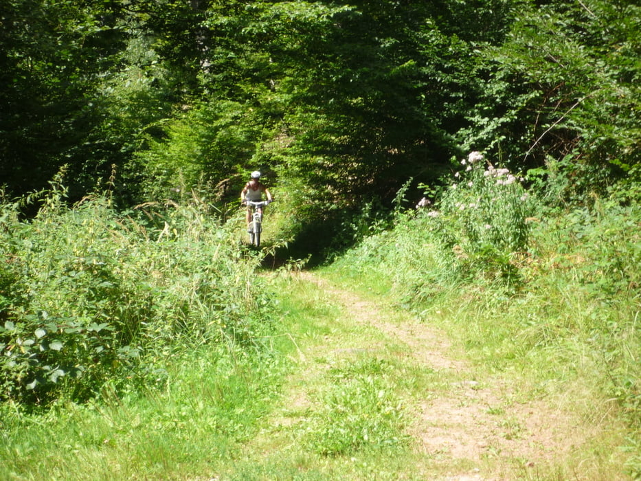
Weiter auf einem Schotterweg nach Schollbrunn, ca. 2km nach dem Wildtiergehege geht es auf einem Trail zur Kartause Grünau. Diese läd zum verweilen ein.
Von der Kartause Grünau sind es noch ca. 4km bis zum Ausgangspunkt Hasloch.
Mein Start und Endpunkt war in Hasloch am Main.
Von hier aus geht es auf der wenig befahrenen Straße auf den Hasselberg, vorbei an der Schutzhütte weiter auf dem Schotterweg zum Sandacker.
Am Sandacker den Weg in Richtung Rohrbrunn bis zum Forsthaus "Dianalust" fahren, dann links bis zur Wegkreuzung Eselsweg.
Auf dem Eselsweg geht es auf einem teilweise sehr schönen Waldweg bis zum Rohrbrunn.
Ab hier bergab auf einem Asphaltweg bis zur Haseltalbrücke.
Weiter auf einem Schotterweg nach Schollbrunn, ca. 2km nach dem Wildtiergehege geht es auf einem Trail zur Kartause Grünau. Diese läd zum verweilen ein.
Von der Kartause Grünau sind es noch ca. 4km bis zum Ausgangspunkt Hasloch.
galéria trás
Mapa trasy a výškový profil
Minimum height 150 m
Maximum height 516 m
More about the tour author
|
|
MTB-Kai |
komentáre

GPS trasy
Trackpoints-
GPX / Garmin Map Source (gpx) download
-
TCX / Garmin Training Center® (tcx) download
-
CRS / Garmin Training Center® (crs) download
-
Google Earth (kml) download
-
G7ToWin (g7t) download
-
TTQV (trk) download
-
Overlay (ovl) download
-
Fugawi (txt) download
-
Kompass (DAV) Track (tk) download
-
list trasy (pdf) download
-
Original file of the author (gpx) download
More about the tour author
|
|
MTB-Kai |
Add to my favorites
Remove from my favorites
Edit tags
Open track
My score
Rate