


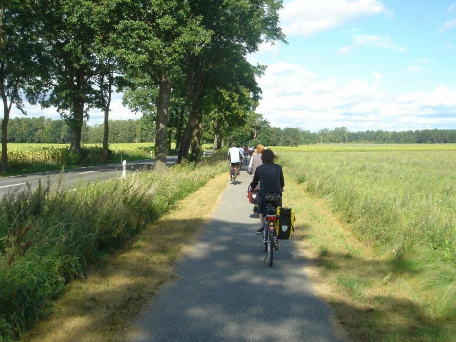
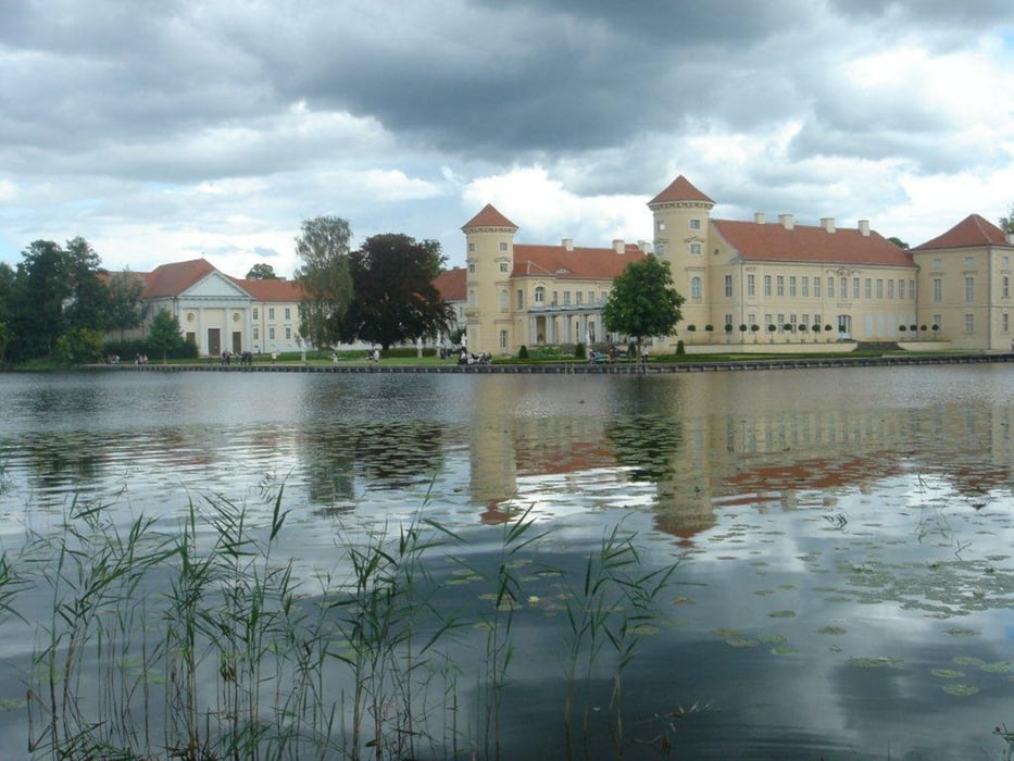
Diese Rundtour startete in Gransee mit einer kleinen Stadterkundung. Von dort ging es ein Stückchen auf der Königin-Luise-Route (www.koenigin-luise-route.de) bis Dannenwalde. Am dortigen Barfussweg trainierten wir unsere Füße. Das nächste Ziel war Zernikow, wo wir einen empfehlenswerten Übernachtunsplatz im Gut Zernikow (http://gut-zernikow.de) fanden. Von hier ging es zum einen an und um den Großen Stechlin und am Tag darauf über Rheinsberg zurück nach Gransee.
Von Dannenwalde bis Rheinsberg wurde diese Tour initiiert und begleitet von Birgitt Claus als Organisatorin und kulinarische Impressaria und Paul Sonderegger als Rezitator von Auszügen aus "Der Stechlin" von Theodor Fontane. An beide ein herzliches Dankeschön für ein anregendes Wochenende!
Further information at
http://www.esskultur-berlin.de/catering/berlin/home.phpgaléria trás
Mapa trasy a výškový profil
Minimum height 49 m
Maximum height 108 m
More about the tour author

|
Binuschka |
komentáre

Die Radtour startet und endet am Bahnhof Gransee.
GPS trasy
Trackpoints-
GPX / Garmin Map Source (gpx) download
-
TCX / Garmin Training Center® (tcx) download
-
CRS / Garmin Training Center® (crs) download
-
Google Earth (kml) download
-
G7ToWin (g7t) download
-
TTQV (trk) download
-
Overlay (ovl) download
-
Fugawi (txt) download
-
Kompass (DAV) Track (tk) download
-
list trasy (pdf) download
-
Original file of the author (gpx) download
More about the tour author
|
|
Binuschka |
Add to my favorites
Remove from my favorites
Edit tags
Open track
My score
Rate