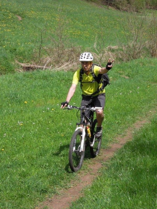
3 Std Fahrzeit ist nur eine ca. Angabe da das Navi ausgefallen ist !!!!!!!!!!!!
Mapa trasy a výškový profil
Minimum height 100 m
Maximum height 566 m
komentáre
GPS trasy
Trackpoints-
GPX / Garmin Map Source (gpx) download
-
TCX / Garmin Training Center® (tcx) download
-
CRS / Garmin Training Center® (crs) download
-
Google Earth (kml) download
-
G7ToWin (g7t) download
-
TTQV (trk) download
-
Overlay (ovl) download
-
Fugawi (txt) download
-
Kompass (DAV) Track (tk) download
-
list trasy (pdf) download
-
Original file of the author (tcx) download
Add to my favorites
Remove from my favorites
Edit tags
Open track
My score
Rate


Touren
schreiben könntest, so dass man lesen kan was einem so erwartet auf der Tour.
Vielen Dank
Gruß Thomas
p.s.
Kette immer rechts :)