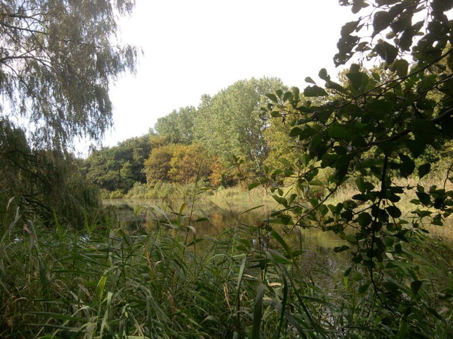
Bei schönstem Spätsommerwetter ging's vom S-Bhf Karow zu den Karower Teichen, weiter in den Bucher Forst, über die renaturierten Rieselfelder, heute größte Waldweide in Deutschland, nach Hobrechtsfelde. Von dort weiter in die Schönower Heide und nach Bernau.
Further information at
http://www.xxrhahn.de/public/Berlin-Hobrechtsfelde/index.htmlgaléria trás
Mapa trasy a výškový profil
Minimum height 35 m
Maximum height 215 m
komentáre

Hin: S-Bahn bis Karow
Rück: Bus bis Bernau, von dort S-Bahn
GPS trasy
Trackpoints-
GPX / Garmin Map Source (gpx) download
-
TCX / Garmin Training Center® (tcx) download
-
CRS / Garmin Training Center® (crs) download
-
Google Earth (kml) download
-
G7ToWin (g7t) download
-
TTQV (trk) download
-
Overlay (ovl) download
-
Fugawi (txt) download
-
Kompass (DAV) Track (tk) download
-
list trasy (pdf) download
-
Original file of the author (gpx) download
Add to my favorites
Remove from my favorites
Edit tags
Open track
My score
Rate


