
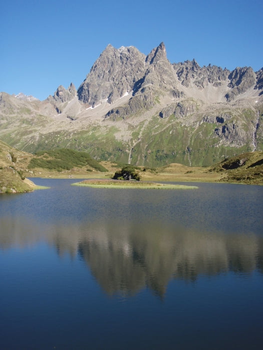

26.08.2012 Oberstdorf – Schrofenpass – Warth – Lech – Zug – Rauhes Joch – Freiburger Hütte (55km 1600hm)
27.08.2012 Freiburger Hütte - Dalaas - Kristbergsattel - Hasahüsli - Silbertal - Silbertaler Winterjöchli - Schönverwallhütte - Verbellner Winterjöchli - Heilbronner Hütte (47km 2100hm)
28.08.2012 Heilbronner Hütte - Kops Stausee - Galtür - Ischgl - Fimbertal - Heidelberger Hütte - Fimbapass - Vna - Ramosch - Sur En (59km 1600hm)
29.08.2012 Sur En - Val d'Uina - Schlinigpass - Sesvennahütte - Schleis - Laatsch - Glurns - Prad – Trafoi (49km 1900hm)
30.08.2012 Trafoi - Stilfserjoch - Dreisprachenspitze - Umbrailpass - Bocchetta di Forcola - Bormio - Santa Caterina (56km 2300hm)
31.08.2012 Santa Caterina - Passo di Gavia - Pezzo - Rifugio A.Bozzi Montozzo - Forcellina di Montozzo - Lago di Pian Palu - Cogolo - Ossana – Dimaro (71km 2050hm)
01.09.2012 Dimaro - Madonna di Campiglio - Lago di Val d'Agola - Passo Bregn de l'Ors - Passo del Gotro - Pomte di Lisago - Stenico - Ponte Arche - Passo di Ballino - Tennosee – Riva (90km 2000hm)
Mapa trasy a výškový profil
Minimum height 70 m
Maximum height 2849 m
More about the tour author
|
|
NitramH |
komentáre

GPS trasy
Trackpoints-
GPX / Garmin Map Source (gpx) download
-
TCX / Garmin Training Center® (tcx) download
-
CRS / Garmin Training Center® (crs) download
-
Google Earth (kml) download
-
G7ToWin (g7t) download
-
TTQV (trk) download
-
Overlay (ovl) download
-
Fugawi (txt) download
-
Kompass (DAV) Track (tk) download
-
list trasy (pdf) download
-
Original file of the author (gpx) download
More about the tour author
|
|
NitramH |
Add to my favorites
Remove from my favorites
Edit tags
Open track
My score
Rate