


Tourbeginn / Tourende Bahnhof Lienz
über Oberdrum, Prappernitze - Trinkwasserbrunnen
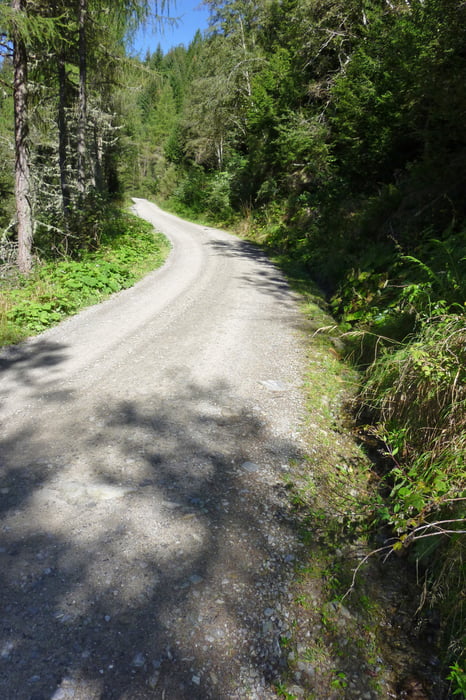
ab Abzweigung Helenental Schotterstraße welche anfangs relativ steil ist, später wird es etwas flacher.
Enlang des Forstweges fliesst immer wieder ein kleiner Bach (besonders fein an heißen Sommertagen). Bei Thurner Almen vorbei.
Auf höchstem Punkt auch wieder ein Bach mit Trinkwasser . . .
ganz oben (Oberwalder Steg) kurze Tragestecke zum Lacken Boden
Variante: von hier könnte man noch ca. 30 min aufs Steiner Mandl fahren
Anfangs steile Abfahrt auf Winter Skipistenroute
Hinweis: generell gibt es am Zettersfeld Zentrum einige empfehlenswerte Gasthäuser: GH "Steinermandl (seit 2016 neue Pächter - super "Küche"), Atrium, GH Bidner, Meckis, Naturfreundehütte und die Faschingalm.
Danach nochmals kurz die Zettersfeld Mautstraße hinauf, und dann die lange Abfahrt bis Lienz Bahnhof - Variante: Abfahrt über Faschingalmstraße - siehe eigene Tour
galéria trás


Mapa trasy a výškový profil
Minimum height 675 m
Maximum height 2126 m
More about the tour author
|
|
chrissi9900 |
komentáre

GPS trasy
Trackpoints-
GPX / Garmin Map Source (gpx) download
-
TCX / Garmin Training Center® (tcx) download
-
CRS / Garmin Training Center® (crs) download
-
Google Earth (kml) download
-
G7ToWin (g7t) download
-
TTQV (trk) download
-
Overlay (ovl) download
-
Fugawi (txt) download
-
Kompass (DAV) Track (tk) download
-
list trasy (pdf) download
-
Original file of the author (gpx) download
More about the tour author
|
|
chrissi9900 |
Add to my favorites
Remove from my favorites
Edit tags
Open track
My score
Rate