


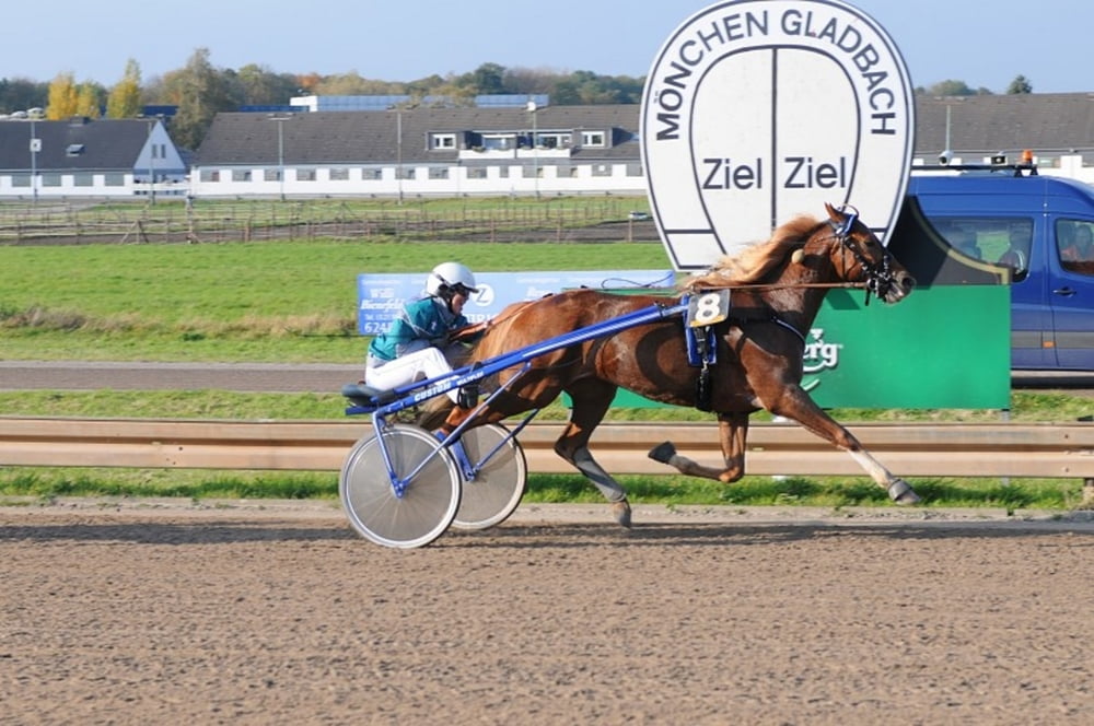
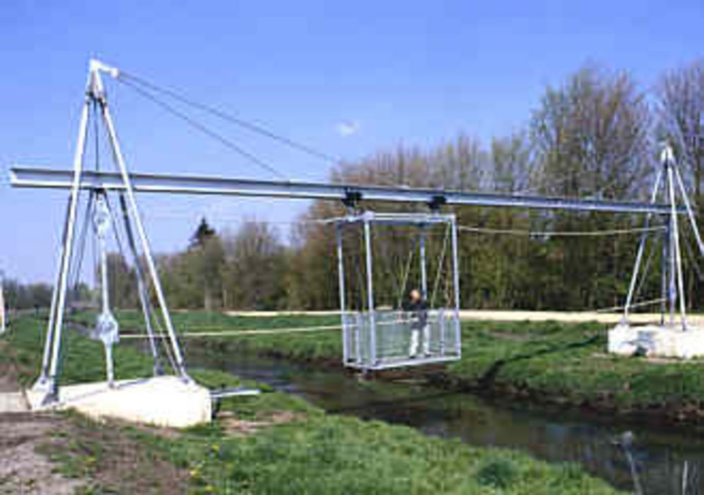
Auf dem Parkplatz vor der Post in Odenkirchen geht es los. Wir fahren immer an der Niers entlang. Nach 6,5 km kann man an Schloß Rheydt den ersten Stop einlegen und etwas trinken. Danach geht es weiter bis zur Trabrennbahn, wo wir nach links abbiegen und weiter der Niers folgen. Nach ca.14 km kommen wir an einer Schwebefähre die über die Niers führt vorbei. Kurze Zeit später verlassen wir den Lauf der Niers und fahren durch weite Felder bis zum Restaurant Waldfrieden (ca.25 km), wo wir uns eine Pause verdient haben. Danach geht es weiter durch die Felder und unter der A52 zum Hardter Wald. Weitere Orte auf unserer Route sind dann Wolfsittard, Am Sitterhof, Günhoven und Mennratherheide. In Mennrath selber fahren wir am Sportplatz rechts und nach 200m wieder links, so dass wir durch die Felder um Wickrath herum wieder an der Niers auskommen. Schußendlich folgen wir der Niers wieder bis zu unserem Ausgangpunkt, dem Parkplatz an der Post.
galéria trás
Mapa trasy a výškový profil
Minimum height 35 m
Maximum height 85 m
More about the tour author
|
|
Pelle58 |
komentáre

GPS trasy
Trackpoints-
GPX / Garmin Map Source (gpx) download
-
TCX / Garmin Training Center® (tcx) download
-
CRS / Garmin Training Center® (crs) download
-
Google Earth (kml) download
-
G7ToWin (g7t) download
-
TTQV (trk) download
-
Overlay (ovl) download
-
Fugawi (txt) download
-
Kompass (DAV) Track (tk) download
-
list trasy (pdf) download
-
Original file of the author (gpx) download
More about the tour author
|
|
Pelle58 |
Add to my favorites
Remove from my favorites
Edit tags
Open track
My score
Rate