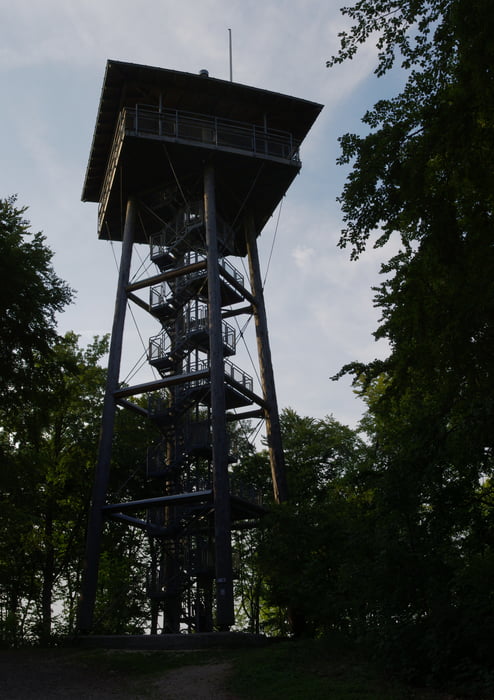
Eine Wanderung die ich schon lange wieder einmal machen wollte.
Vom Parkplatz der Liemestherme die Straße hoch und am Waldparkplatz vorbei. Wer hochfährt will keine Zeit verschwenden oder scheut den Anstieg.
Die Skipisten queren und schnell zum Aussichtstum auf das Aalbäumle hoch. Eine tolle Aussicht die nicht verpasst werden sollte.
Danach runter in das Tal wobei das Wolfertstal sehr nett ist. Auf der Talsohle befindet sich ein Hügel der früher von uns mit den Mountainbikes mit Topspeed genommen wurde.
Die Speedstrecke bergan und immer auf dem Hauptwanderweg Nr. 1 des Schwäbischen Albvereins folgen um auf den Gipfel des Volkmarsberges zu gelangen. Der Weg wird mal schmaler und auch mal steiler aber es lohnt sich. Leider war der Aussichtsturm am Montag geschlossen.
Der Rückweg kann gerader gewählt werden und so ist diese Wanderung zum Feierabend ideal.
Viel Spass.
Further information at
http://www.aalen.de/sixcms/detail.php?id=8061&_bereich=6galéria trás
Mapa trasy a výškový profil
komentáre

GPS trasy
Trackpoints-
GPX / Garmin Map Source (gpx) download
-
TCX / Garmin Training Center® (tcx) download
-
CRS / Garmin Training Center® (crs) download
-
Google Earth (kml) download
-
G7ToWin (g7t) download
-
TTQV (trk) download
-
Overlay (ovl) download
-
Fugawi (txt) download
-
Kompass (DAV) Track (tk) download
-
list trasy (pdf) download
-
Original file of the author (gpx) download

