


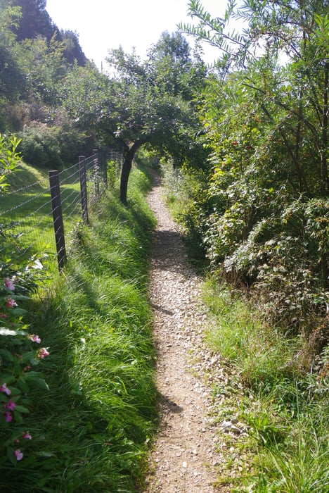
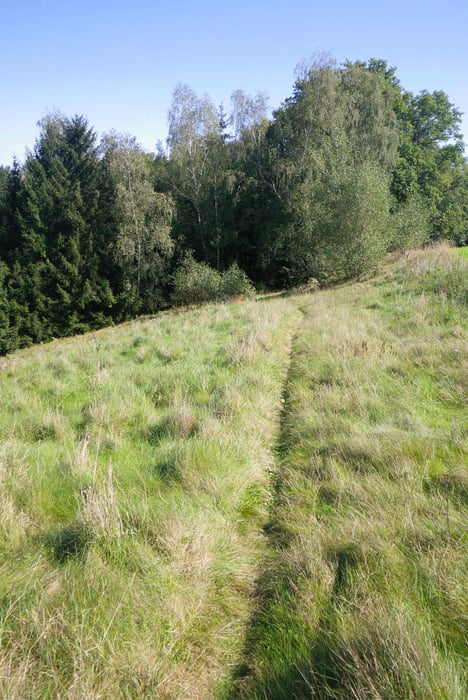
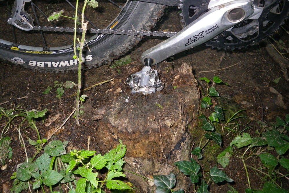
Diese Tour geht in dieser Form nicht als Rundfahrt durch. Ich wollte unbedingt den Baumstumpf begutachten, der mich am 18. August aus dem Sattel geholt hat. Deswegen fuhr ich von Freistadt das Feld-Aisttal hinunter nach Pregarten. Dort fuhr ich dann teilweise die Tour de Lehner 2012 nach um zum Sturzort zu gelangen. Die eine Spitze, die vorzeitig ins Josefstal hinunter und dann gleich wieder hinaufführt, ist entbehrlich und durch Hinausfahren aus dem Wald vermeidbar.
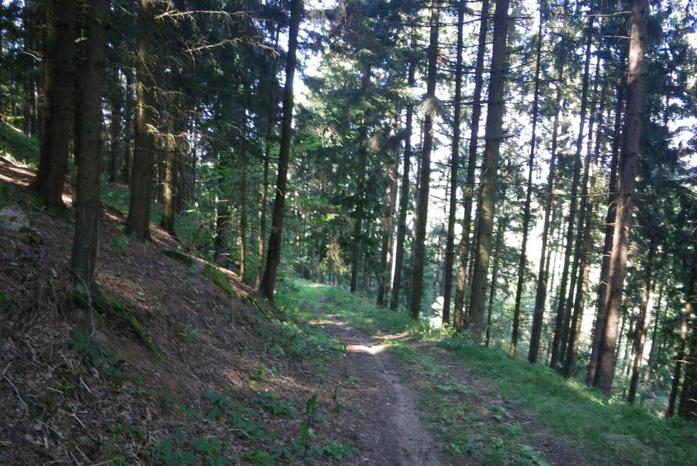
Die Fahrt Richtung Markersdorf ist geprägt von viel Asphalt und von mangelnder Kondition. Deswegen fuhr ich dann auf der Straße im Wald-Aisttal nordwärts. Bei der Abzweigung Gutau wurde ich dann vom Rad-Shuttle abgeholt. Bei der IQ-Tankstelle in der Nähe von Tragwein hab ich wiedereinmal vergessen, die Aufzeichnung wieder einzuschalten. Einfach den Schotterfahrweg hinunterfahren, nach der Brücke rechts abzweigen und den Fahrweg hinauf.
galéria trás
Mapa trasy a výškový profil
Minimum height 258 m
Maximum height 608 m
More about the tour author
|
|
rjkas |
komentáre

GPS trasy
Trackpoints-
GPX / Garmin Map Source (gpx) download
-
TCX / Garmin Training Center® (tcx) download
-
CRS / Garmin Training Center® (crs) download
-
Google Earth (kml) download
-
G7ToWin (g7t) download
-
TTQV (trk) download
-
Overlay (ovl) download
-
Fugawi (txt) download
-
Kompass (DAV) Track (tk) download
-
list trasy (pdf) download
-
Original file of the author (tcx) download
More about the tour author
|
|
rjkas |
Add to my favorites
Remove from my favorites
Edit tags
Open track
My score
Rate