


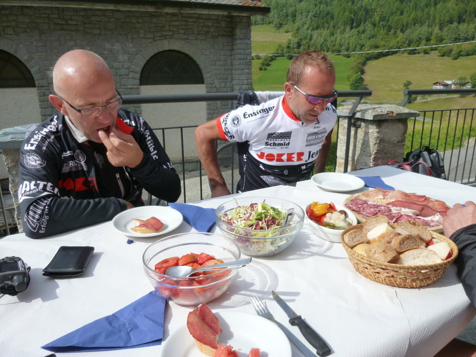
Unsere heutige Tour führt über den Passo >Verva und Passo Mortirolo nach Monno. Vom Lago di Cancano rollen wir in Richtung Valdidentro fahren aber nach der dritten Kehre rechts weg auf einem schönen Wanderweg nach Arnoga. Hier beginnt für uns die steile Schotterauffahrt zum Passo Verva auf 2300 Meter Höhe. Diese einsame italienische Berglandschaft über dem Valtellina ist absolut beindruckend und wir genießen die grandiosen Panoramen der Adamello Berge. Es folgt eine Schotterabfahrt hinunter nach Grosio und dann haben wir noch den berühmten Passo Mortirolo vor uns. Ein schmales Sträßchen, oft schon Bergetappe beim Giro Italia, führt hinauf zum Mortirolo. Im oberen Bereich lesen wir die von den Fans auf den Asphalt gepinbselten Motivationsmarken für die Radsportler. Uns motiviert vor allem die grandiose Berglandschaft des Valtellina. Nach der Passhöhe auf 1800 Metern fahren wir hinunter nach Edolo wo wir im Eurohotel übernachtet haben.
Further information at
http://www.radsportwagner.degaléria trás


Mapa trasy a výškový profil
Minimum height 692 m
Maximum height 2297 m
More about the tour author
|
|
Uli |
komentáre

GPS trasy
Trackpoints-
GPX / Garmin Map Source (gpx) download
-
TCX / Garmin Training Center® (tcx) download
-
CRS / Garmin Training Center® (crs) download
-
Google Earth (kml) download
-
G7ToWin (g7t) download
-
TTQV (trk) download
-
Overlay (ovl) download
-
Fugawi (txt) download
-
Kompass (DAV) Track (tk) download
-
list trasy (pdf) download
-
Original file of the author (gpx) download
More about the tour author
|
|
Uli |
Add to my favorites
Remove from my favorites
Edit tags
Open track
My score
Rate