Tag 3:
Fimberpass (2.605 m)
Beim Downhill super Abfahrts-Flow!
Abstecher nach Sent ins Fahrradgeschäft. Dort auch Mittagspause.
Fahrt nach Sur En am Inn flussabwärts.
Val d`Uina Schluchtgallerie
Schlinigpass - Passüberschreitung per MTB möglich, sehr flaches Gelände.
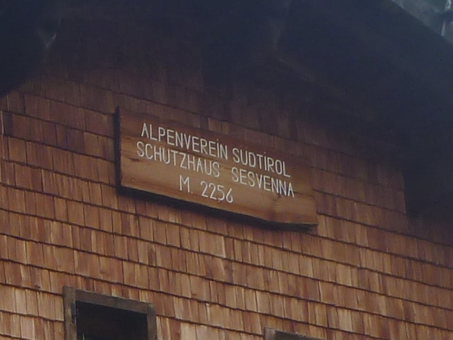
Sesvennahütte
wieder sehr reichhaltiges Abendessen: Gemüsesuppe, Salatbuffet, Nudeln mit Schinken-Sahne-Soße, Bratapfel!
galéria trás
Mapa trasy a výškový profil
Minimum height 1130 m
Maximum height 2601 m
komentáre

Abfahrt auf der Heidelberger Hütte:
GPS trasy
Trackpoints-
GPX / Garmin Map Source (gpx) download
-
TCX / Garmin Training Center® (tcx) download
-
CRS / Garmin Training Center® (crs) download
-
Google Earth (kml) download
-
G7ToWin (g7t) download
-
TTQV (trk) download
-
Overlay (ovl) download
-
Fugawi (txt) download
-
Kompass (DAV) Track (tk) download
-
list trasy (pdf) download
-
Original file of the author (gpx) download
Add to my favorites
Remove from my favorites
Edit tags
Open track
My score
Rate


