

Von Rohrbach aus geht es auf forstwegen über den Birhelder Hof hinauf Richtung Königstuhl. Kurz bevor man oben angekommen ist fährt man links ab und stößt kurze Zeit später in den Singeltrail ( x- weg ) ein bis man in Schlierbach wieder rauskommt. nun geht es auf straße bis nach Schriesheim . Nun geht es hinauf zur Strahlenburg und über diverse Singeltrails weiter bergauf bis zum Weißen Stein. Angekommen geht es über den Singeltrail Hirschgasse hinab bis zum neckar und über die Sadt wieder zurück nach Hause.
viel Spaß beim nachfahren
Mapa trasy a výškový profil
Minimum height -94 m
Maximum height 563 m
More about the tour author
|
|
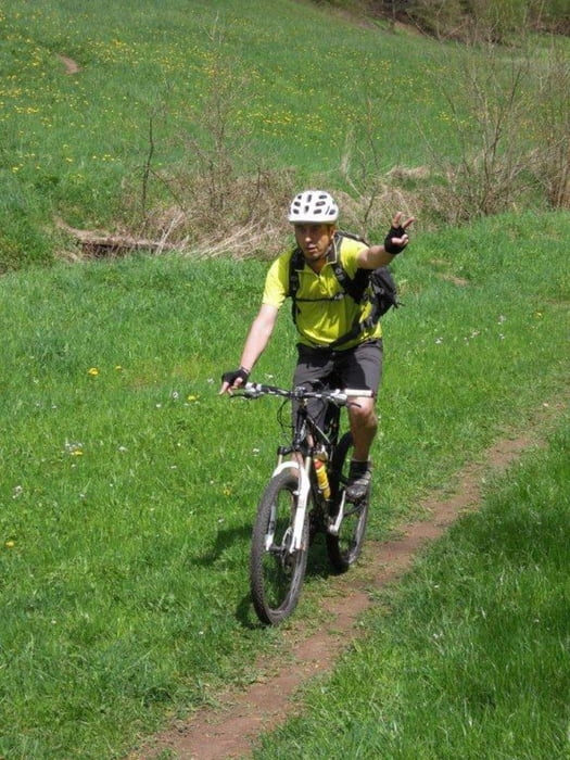
MTBBiker1966 |
komentáre

GPS trasy
Trackpoints-
GPX / Garmin Map Source (gpx) download
-
TCX / Garmin Training Center® (tcx) download
-
CRS / Garmin Training Center® (crs) download
-
Google Earth (kml) download
-
G7ToWin (g7t) download
-
TTQV (trk) download
-
Overlay (ovl) download
-
Fugawi (txt) download
-
Kompass (DAV) Track (tk) download
-
list trasy (pdf) download
-
Original file of the author (tcx) download
More about the tour author
|
|
MTBBiker1966 |
Add to my favorites
Remove from my favorites
Edit tags
Open track
My score
Rate