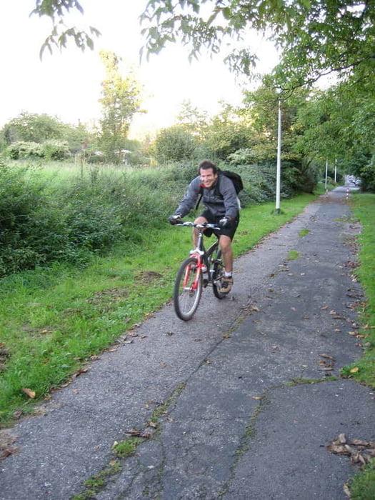
Mein alter Kollege Marc hat mich heute einmal rund um die Hardhöhe und den Venusberg geführt. Die Tour zeigt, dass man auch in der Stadt viel Wald und schöne Aussichten genießen kann. Hätte ich nicht gedacht...
Further information at
http://www.xalps.degaléria trás
Mapa trasy a výškový profil
Minimum height 99 m
Maximum height 179 m
komentáre
Viele Wege führen nach Bonn-Duisdorf
GPS trasy
Trackpoints-
GPX / Garmin Map Source (gpx) download
-
TCX / Garmin Training Center® (tcx) download
-
CRS / Garmin Training Center® (crs) download
-
Google Earth (kml) download
-
G7ToWin (g7t) download
-
TTQV (trk) download
-
Overlay (ovl) download
-
Fugawi (txt) download
-
Kompass (DAV) Track (tk) download
-
list trasy (pdf) download
-
Original file of the author (gpx) download
Add to my favorites
Remove from my favorites
Edit tags
Open track
My score
Rate


Der Anstieg zum Kreuzberg war durchaus eine Herausforderung für mich.