


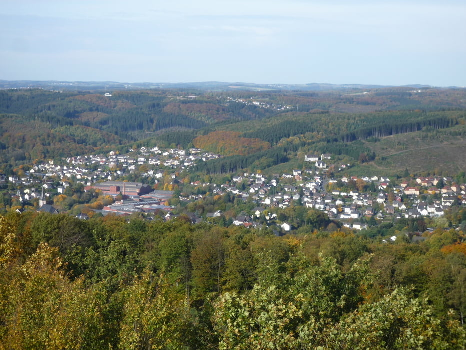
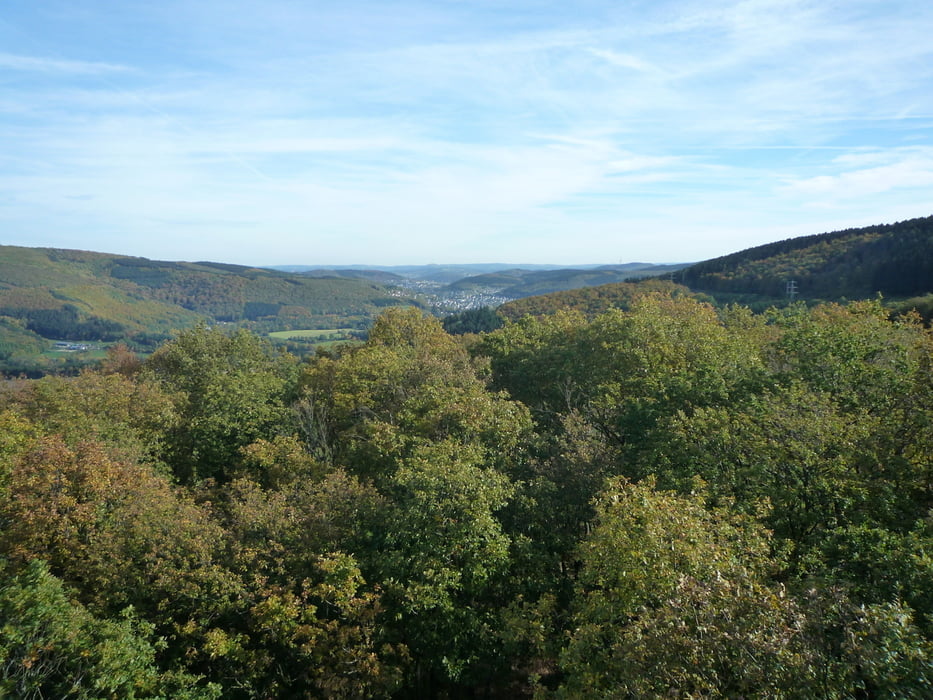
Ich bin vom Roßbachtal aus über Dillbrecht hoch auf die Kalteiche und weiter nach Wilnsdorf gefahren.Weiter geht es unter der Autobahn durch hoch zum Burger King.Nun fahre ich, mal auf mal ab, auf einem wunderschönen Wanderweg bis zum Ottoturm.Von oben hat man eine schöne Aussicht ins Siegtal,zur Freusburg,Betzdorf und ins Bergische Land.Nun geht es zurück über den Druidenstein nach Herdorf , hoch zum Hohenseelbachskopf und weiter bis zur Fuchskaute.Nach einem guten Essen fahre ich wieder ins Roßbachtal .Die Tour ist in beiden Richtungen fahrbar und man kann natürlich auch an jedem anderen Ort einsteigen.Teile der Tour sind identisch mit Tour 64225 Haiger-Druidenstein.
galéria trás


Mapa trasy a výškový profil
Minimum height 216 m
Maximum height 658 m
More about the tour author
|
|
baumgarten |
komentáre

GPS trasy
Trackpoints-
GPX / Garmin Map Source (gpx) download
-
TCX / Garmin Training Center® (tcx) download
-
CRS / Garmin Training Center® (crs) download
-
Google Earth (kml) download
-
G7ToWin (g7t) download
-
TTQV (trk) download
-
Overlay (ovl) download
-
Fugawi (txt) download
-
Kompass (DAV) Track (tk) download
-
list trasy (pdf) download
-
Original file of the author (gpx) download
More about the tour author
|
|
baumgarten |
Add to my favorites
Remove from my favorites
Edit tags
Open track
My score
Rate