Der Track ist die Route 12 des Wanderführers "20 Wanderungen im Kreis Mettmann - der Norden".
Eine relative leichte Tour, wenn im Wanderführer auch als "anspruchsvolle Strecke" beschrieben.
Am Wegesrand laden einige Gaststätten zu Kaffee & Kuchen ein.
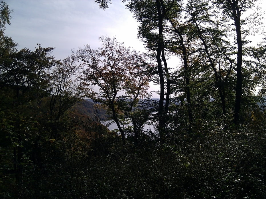
Direkt nach der ersten Kurve wird man mit einem landschaftlichen Highlight belohnt und bekommt Appetit auf den Rest der Tour.
galéria trás
Mapa trasy a výškový profil
Minimum height 50 m
Maximum height 157 m
komentáre

Man kann hervorragend auf dem Parkplatz zum Jagdhaus Schellenberg parken, von wo aus die Tour auch beginnt.
GPS trasy
Trackpoints-
GPX / Garmin Map Source (gpx) download
-
TCX / Garmin Training Center® (tcx) download
-
CRS / Garmin Training Center® (crs) download
-
Google Earth (kml) download
-
G7ToWin (g7t) download
-
TTQV (trk) download
-
Overlay (ovl) download
-
Fugawi (txt) download
-
Kompass (DAV) Track (tk) download
-
list trasy (pdf) download
-
Original file of the author (gpx) download
Add to my favorites
Remove from my favorites
Edit tags
Open track
My score
Rate


