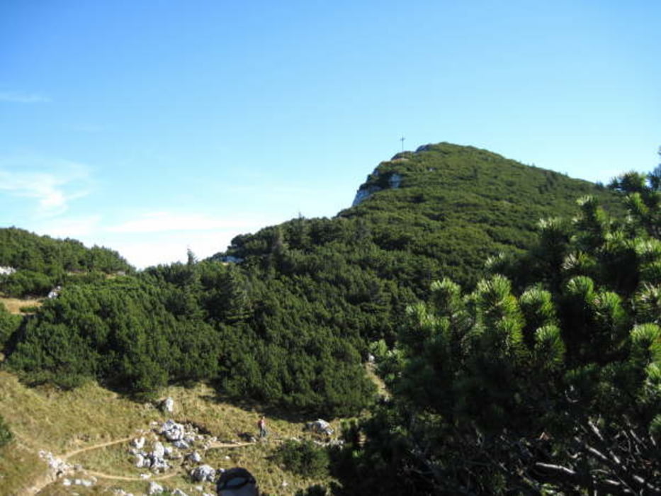
Von Pessenbach startet unsere Tour zur Benewand. Wir haben sie als Leistungstour mißbraucht und alles in 6 Stunden geschafft. Der erste Teil des Weges verläuft überwiegend im Wald, zuerst noch in Richtung Rabenkopf, aber an einem Sattel zweigt unser Weg links ab zur Benewand. Am breiten Gipfel verläuft der Weg durch das karstige Gelände bis zum Kreuz. Weiter geht es in Richtung Brauneck für knapp eine Stunde, dann zweigt unser Weg links ab und führt in den Schatten der großen Felswand. Die Hütte ist schon in Sicht und im Schatten und lädt auf ein Getränk ein. Weiter auf breitem Wander-/Radweg bis wir links abzweigen müssen um nicht nach Benediktbeueren laufen zu müssen. Etwas Offroad weil alles jetzt ohne Beschilderung und wir sind im Tal angekommen. Jetzt nur noch eine halbe Stunde bis zum Parkplatz.
galéria trás
Mapa trasy a výškový profil
komentáre

An der B11 kommt nach Benediktbeueren zur rechten Seite die Ortschaft Pessenbach. Hier gibt es auch einen kleinen Wanderparkplatz der schnell voll sein kann.
GPS trasy
Trackpoints-
GPX / Garmin Map Source (gpx) download
-
TCX / Garmin Training Center® (tcx) download
-
CRS / Garmin Training Center® (crs) download
-
Google Earth (kml) download
-
G7ToWin (g7t) download
-
TTQV (trk) download
-
Overlay (ovl) download
-
Fugawi (txt) download
-
Kompass (DAV) Track (tk) download
-
list trasy (pdf) download
-
Original file of the author (gpx) download


