Login

Zabudli ste prihlasovacia meno

Cookies have to be accepted!
Your browser's cookie functionality is disabled. Please enable this functionality.

Not a member yet?

Register now
Login

Available for registred users only

Log in to use this feature.

Zabudli ste prihlasovacia meno

Cookies have to be accepted!
Your browser's cookie functionality is disabled. Please enable this functionality.

Not a member yet?

Register now
Filter
Kategórie
Advanced filters
  • Dĺžka (km)
  • výškomer
Uložiť filter Reset filter

TrackRank

QRCode

Technical data

Dĺžka18,2 km výškomer375 m Way down406 m Doba01:10 h:m dátum23.10.2012
ohodnotenia Author Kraj pôžitok z túry kondícia technika

štatistika

226 náhľady ohodnotenia 16 Stiahnutia priemer
Rate
  • list trasy
  • príjazd
  • Stiahnutia

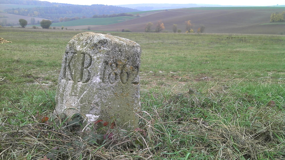
Nette Runde auf Wald und Wiesenwegen mit ein paar netten Trailstücken abseits der allgemein bekannten Strecken. Schöne Ausblicke in einsame Täler und Waldwinkel.

Bei trockener Witterung gut, bei feuchter Witterung nicht empfehlenswert da einige Anstiege über Wiesenwege führen.

Mapa trasy a výškový profil

  • Open Street Map
  • Google
Minimum height 344 m Maximum height 461 m Detailný pohľad

More about the tour author

kamrehn
Member since 2010

Send private message

komentáre

GPS trasy

Trackpoints
  • GPX / Garmin Map Source (gpx) download
  • TCX / Garmin Training Center® (tcx) download
  • CRS / Garmin Training Center® (crs) download
  • Google Earth (kml) download
  • G7ToWin (g7t) download
  • TTQV (trk) download
  • Overlay (ovl) download
  • Fugawi (txt) download
  • Kompass (DAV) Track (tk) download
  • list trasy (pdf) download
  • Original file of the author (gpx) download

More about the tour author

kamrehn
Member since 2010

Send private message
Share track
Add to my favorites
Remove from my favorites
Edit tags
My score
Rate
trasa: Kurze Runde
Druh: horský bicykel
Dĺžka: 18,2 km
Evaluated on:
Doba:
Day(s)
Hour(s)
Minute(s)
ohodnotenie: Kraj pôžitok z túry kondícia technika