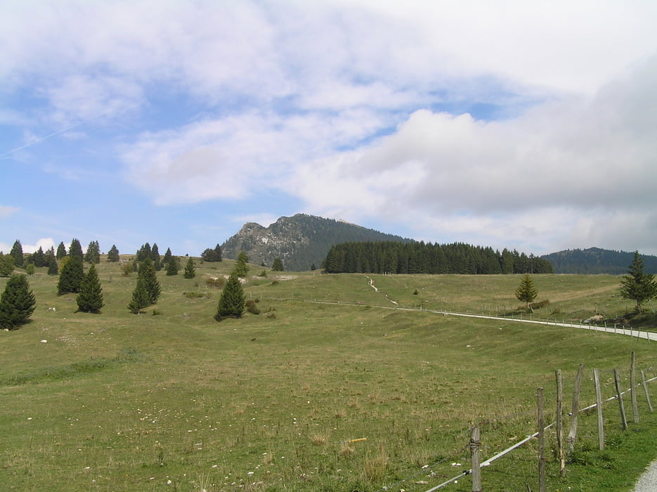
Start in Caldonazzo am Sportgelände.
Von hier aus geht es über den "Kaiserjägerweg" (mittlerweile asphaltierte Passstraße) hinauf bis zur Passhöhe Monte Rovero, ehe man links in Richtung des Cima Vezzena abbiegt. Nach weiteren Kilometern auf Asphalt biegt man an einer Kreuzung (Gasthof). links ab, wo es ab dann auf Feldwegen und später gut präpariertem Waldpfad in Richtung Gipfel geht.
Der Cima Vezzena war eine alte Festung, welche im (ersten Weltkrieg) oder war es der zweite???, zerstört worden ist. Die Überreste kann man noch auf dem Gipfel sehen.
Leider hatten wir keine gute Fernsicht, doch der anschließende DH hat für die Plakerei entschädigt...
Vom Gipfel kommt man wieder zurück zum Monte Rovero. von wo ab es nun in Richtung Lavarone geht (sehr schöner Waldtrail).Kurz nach Chiesa beginnt der DH hinab nach Caldonazzo. Dieser ist knackig, teilweise ausgesetzt mit Schiebe- und Tragepassagen!!!
Leider hat meine Kamera bei dieser Tour den Geist aufgegeben, denn die Passagen waren scho echt was fürs Auge....
galéria trás
Mapa trasy a výškový profil
komentáre

GPS trasy
Trackpoints-
GPX / Garmin Map Source (gpx) download
-
TCX / Garmin Training Center® (tcx) download
-
CRS / Garmin Training Center® (crs) download
-
Google Earth (kml) download
-
G7ToWin (g7t) download
-
TTQV (trk) download
-
Overlay (ovl) download
-
Fugawi (txt) download
-
Kompass (DAV) Track (tk) download
-
list trasy (pdf) download
-
Original file of the author (gpx) download


