
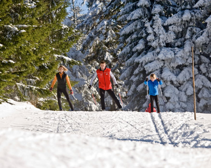

Hinweis: Alle weiteren Loipen der Ferienregion Böhmerwald werden abhängig von Schneelage und Wettersituation gespurt. Bitte informieren Sie sich in der Tourismusinformation +43 57890 100 oder online auf www.boehmerwald.at! Der Loipenbericht wird ab dem ersten Schneefall täglich aktualisiert!
Further information at
http://www.boehmerwald.atMapa trasy a výškový profil
Minimum height 545 m
Maximum height 631 m
More about the tour author
|
|
aigen-schlaegl |
komentáre

Anfahrt Klaffer am Hochficht
Westautobahn - Linz - B 127
Über München - Landshut - A92 - Deggendorf - Passau A3 - Abfahrt
Nord über Wegscheid
Über Nürnberg - Regensburg A3 - Passau - Abfahrt Nord über Wegscheid
GPS trasy
Trackpoints-
GPX / Garmin Map Source (gpx) download
-
TCX / Garmin Training Center® (tcx) download
-
CRS / Garmin Training Center® (crs) download
-
Google Earth (kml) download
-
G7ToWin (g7t) download
-
TTQV (trk) download
-
Overlay (ovl) download
-
Fugawi (txt) download
-
Kompass (DAV) Track (tk) download
-
list trasy (pdf) download
-
Original file of the author (gpx) download
More about the tour author
|
|
aigen-schlaegl |
Add to my favorites
Remove from my favorites
Edit tags
Open track
My score
Rate