Koprarda_Moorwanderung
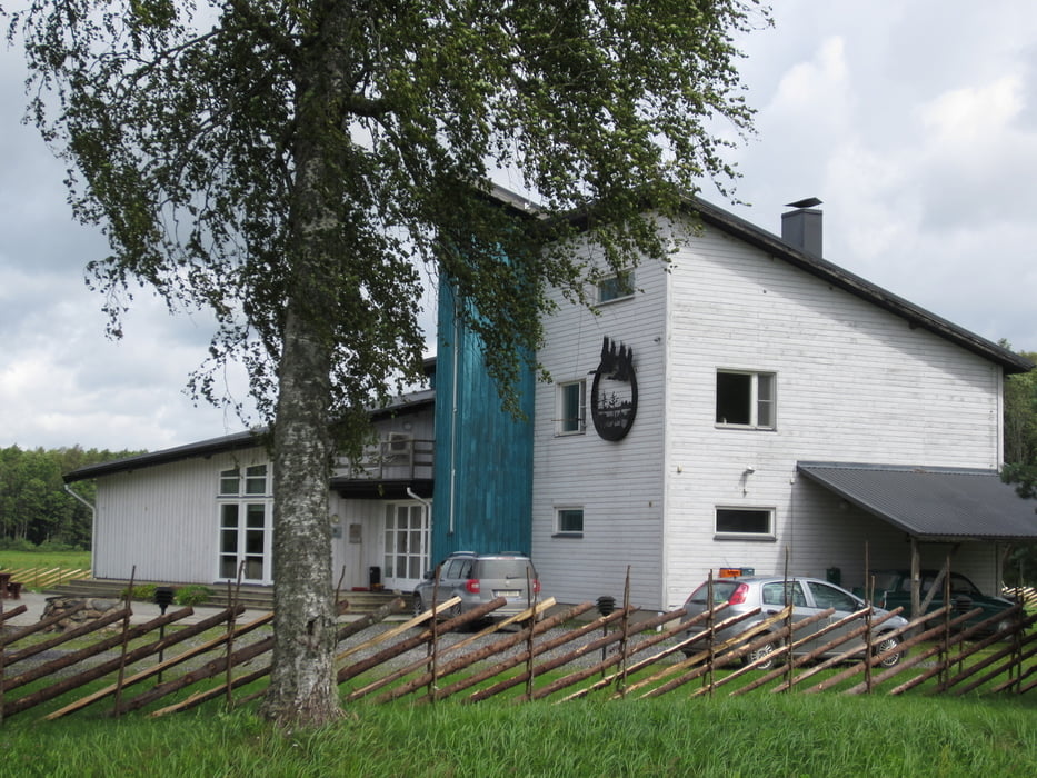
Sooma nationalpark direkt beim besucherzentrum Toramaa
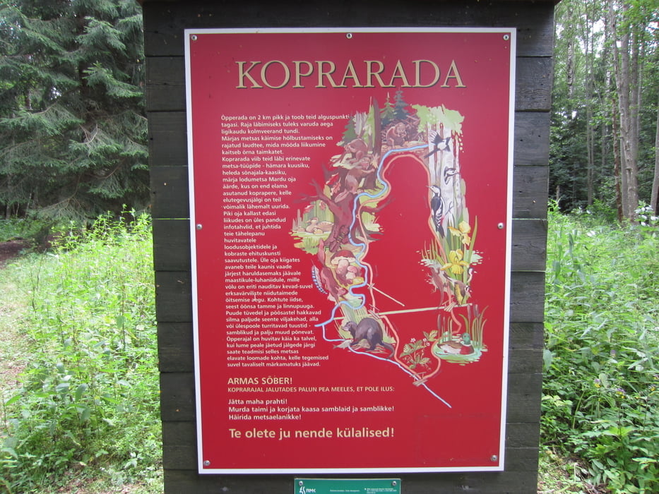
An diesem Tag starteten wir eine erste Wanderung, ein Rundwanderweg ab dem Visitorcenter mit einer Länge von 1,5km und einer Gehzeit von 45min, auf Holzplanken entlang, vorbei an Biberbauten im sumpfigen Gebiet.
Further information at
http://arhiiv.soomaa.com/?id=513&lang=gergaléria trás
Mapa trasy a výškový profil
Minimum height 16 m
Maximum height 29 m
komentáre

diekt beim besucherzentrum toramaa
GPS trasy
Trackpoints-
GPX / Garmin Map Source (gpx) download
-
TCX / Garmin Training Center® (tcx) download
-
CRS / Garmin Training Center® (crs) download
-
Google Earth (kml) download
-
G7ToWin (g7t) download
-
TTQV (trk) download
-
Overlay (ovl) download
-
Fugawi (txt) download
-
Kompass (DAV) Track (tk) download
-
list trasy (pdf) download
-
Original file of the author (gpx) download
Add to my favorites
Remove from my favorites
Edit tags
Open track
My score
Rate


