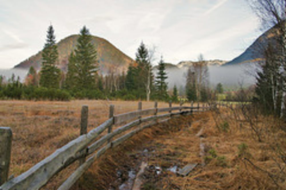
Die 10,4 Kilometer lange Erlebniswanderung führt dich zu den Info-Plattformen Torfstich, Hochmoor, Karstquellen Strumern, Ödensee, Wald und Moor. Der ca. 5 Kilometer lange Abstecher zu den Karstquellen Strumern ist vor allem im Frühjahr nach der Schneeschmelze interessant. Im Herbst fließt dort das Wasser nämlich nur nach regenreichen Tagen. Mit insgesamt 209 Höhenmetern ist die Tour nicht schwierig und für die ganze Familie geeignet.
Weitere Infos und Fotos findest du auf biketours4you.at
galéria trás
Mapa trasy a výškový profil
Minimum height 767 m
Maximum height 837 m
komentáre
GPS trasy
Trackpoints-
GPX / Garmin Map Source (gpx) download
-
TCX / Garmin Training Center® (tcx) download
-
CRS / Garmin Training Center® (crs) download
-
Google Earth (kml) download
-
G7ToWin (g7t) download
-
TTQV (trk) download
-
Overlay (ovl) download
-
Fugawi (txt) download
-
Kompass (DAV) Track (tk) download
-
list trasy (pdf) download
-
Original file of the author (gpx) download
Add to my favorites
Remove from my favorites
Edit tags
Open track
My score
Rate


Hinterberger Tal
Vielen Dank Leo für Deine schönen Touren
Horst