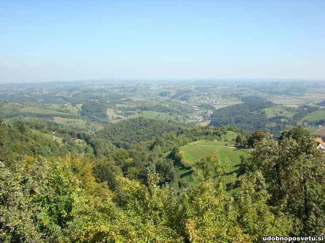
Peter Osterversnik lud zu einem Liegeradtreffen in der Nähe von Maribor ein - und rund 20 FahrerInnen folgten seinem Ruf, wollten den 100km-1500Hm-"Recreational"-Marathon fahren. Die bis zu 20% steilen Steigungen widerlegten jede Behauptung, dass man mit Liegerädern nicht bergauf fahren könne!
Bei Traumwetter führte uns Peter durch eine wunderschöne Landschaft mit herrlichen Hügeln, und den oben genannten Herausforderungen. Ja auch die frontgetriebenen Räder schafften praktisch alle Steigungen, der trockenen Straße sei Dank!
Peter hatte für reichlich Labestationen gesorgt, niemand musste hungern oder dürsten. Die abendliche Grillerei mit einem Video-Vortrag von Damjan Zabovnik, dem Europarekordhalter über eine Stunde (ca. 84km!) beschlossen einen Tag, der kaum besser hätte sein können! Danke Peter!
Further information at
http://www.udobnoposvetu.sigaléria trás
Mapa trasy a výškový profil
Minimum height 255 m
Maximum height 577 m
komentáre

Der Startpunkt liegt ca. 8km nördlich von Maribor, das bestens per Bahn und Autobahn erreichbar ist.
GPS trasy
Trackpoints-
GPX / Garmin Map Source (gpx) download
-
TCX / Garmin Training Center® (tcx) download
-
CRS / Garmin Training Center® (crs) download
-
Google Earth (kml) download
-
G7ToWin (g7t) download
-
TTQV (trk) download
-
Overlay (ovl) download
-
Fugawi (txt) download
-
Kompass (DAV) Track (tk) download
-
list trasy (pdf) download
-
Original file of the author (g7t) download
Add to my favorites
Remove from my favorites
Edit tags
Open track
My score
Rate


