Login

Zabudli ste prihlasovacia meno

Cookies have to be accepted!
Your browser's cookie functionality is disabled. Please enable this functionality.

Not a member yet?

Register now
Login

Available for registred users only

Log in to use this feature.

Zabudli ste prihlasovacia meno

Cookies have to be accepted!
Your browser's cookie functionality is disabled. Please enable this functionality.

Not a member yet?

Register now
Filter
Kategórie
Advanced filters
  • Dĺžka (km)
  • výškomer
Uložiť filter Reset filter

TrackRank

QRCode

Technical data

Dĺžka14,4 km výškomer390 m Way down318 m Doba03:49 h:m dátum17.11.2012
ohodnotenia Author Kraj pôžitok z túry kondícia technika

štatistika

833 náhľady ohodnotenia 24 Stiahnutia priemer
Rate
  • list trasy
  • príjazd
  • Stiahnutia

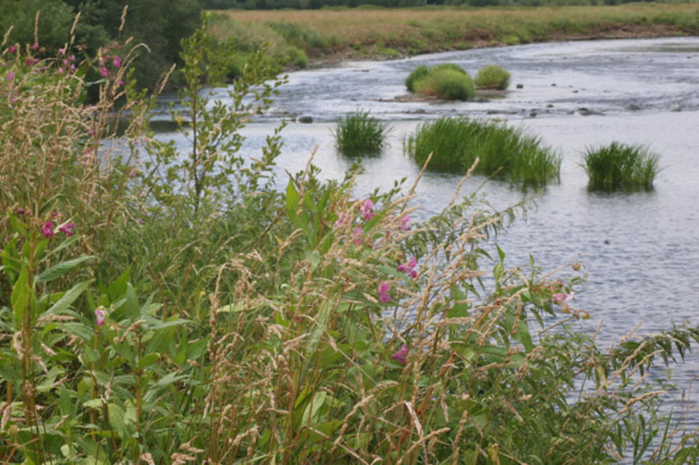
Es geht vom Bahnhof Merten (Sieg) zunächst entlang der Sieg dann hoch nach Honscheid über Bröl/Schule, Schloss Allner nach Hennef Bahnhof

Die Strecke verläuft teilweise über den Natursteig Sieg und Erlebniswege Sieg und Bergischen Weg


Further information at

http://www.vrr.de/imperia/md/content/nrw/wunderbarwanderbar.pdf

galéria trás

Mapa trasy a výškový profil

  • Open Street Map
  • Google
Minimum height 2 m Maximum height 221 m Detailný pohľad

More about the tour author

horst1508
Member since 2012

Send private message

komentáre

Von Köln mit der S-Bahn Nr. 12 zum Bahnhof Merten/Sieg in circa 42 Minuten

GPS trasy

Trackpoints
  • GPX / Garmin Map Source (gpx) download
  • TCX / Garmin Training Center® (tcx) download
  • CRS / Garmin Training Center® (crs) download
  • Google Earth (kml) download
  • G7ToWin (g7t) download
  • TTQV (trk) download
  • Overlay (ovl) download
  • Fugawi (txt) download
  • Kompass (DAV) Track (tk) download
  • list trasy (pdf) download
  • Original file of the author (gpx) download

More about the tour author

horst1508
Member since 2012

Send private message
Share track
Add to my favorites
Remove from my favorites
Edit tags
My score
Rate
trasa: Merten (Sieg) über Honscheid nach Hennef
Druh: trasa
Dĺžka: 14,4 km
Evaluated on:
Doba:
Day(s)
Hour(s)
Minute(s)
ohodnotenie: Kraj pôžitok z túry kondícia technika