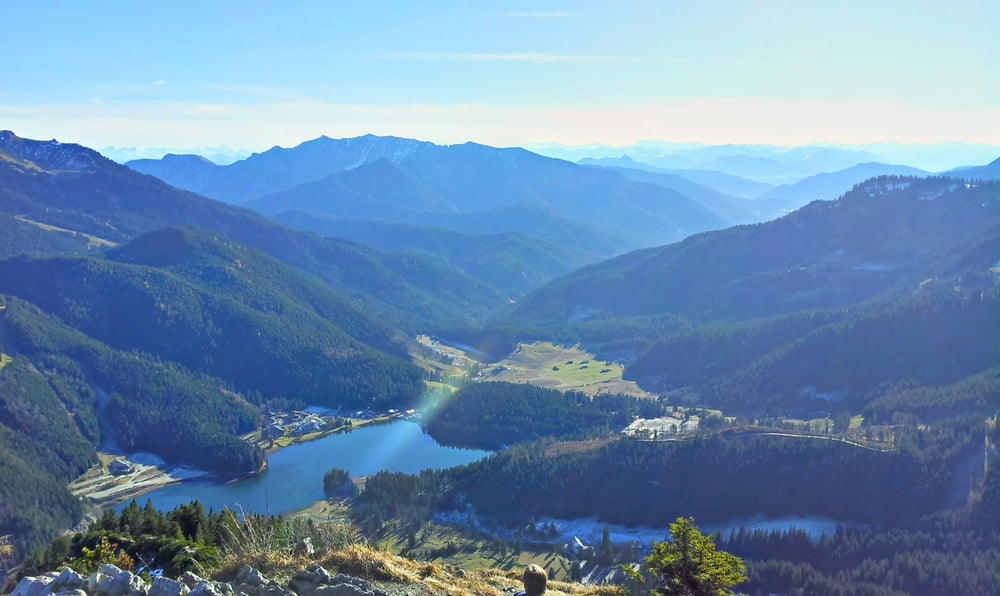
Lange Bergwanderung mit viel Aussicht, etwas Kletterei und einer kleinen Kapelle auf steilem Grat, vom Spitzingsattel über Brecherspitze, Freudenreichkapelle, obere Firstalm (Einkehr), Bodenschneid, untere Firstalm zurück zum Spitzingsattel.
galéria trás
Mapa trasy a výškový profil
Minimum height 1085 m
Maximum height 1680 m
komentáre

A8, Miesbach, Schliersee zum Spitzingsattel, dort kostenpflichtiger Parkplatz.
GPS trasy
Trackpoints-
GPX / Garmin Map Source (gpx) download
-
TCX / Garmin Training Center® (tcx) download
-
CRS / Garmin Training Center® (crs) download
-
Google Earth (kml) download
-
G7ToWin (g7t) download
-
TTQV (trk) download
-
Overlay (ovl) download
-
Fugawi (txt) download
-
Kompass (DAV) Track (tk) download
-
list trasy (pdf) download
-
Original file of the author (gpx) download
Add to my favorites
Remove from my favorites
Edit tags
Open track
My score
Rate


