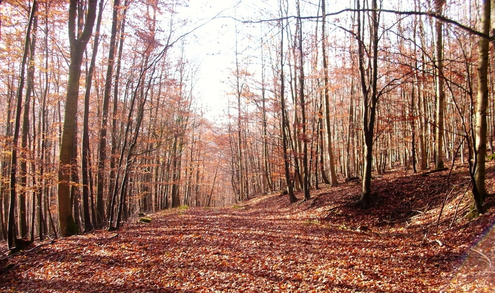
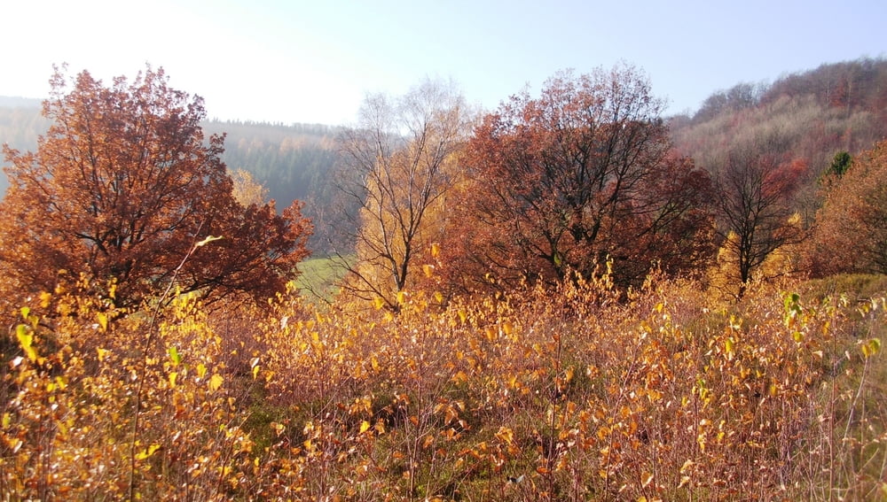
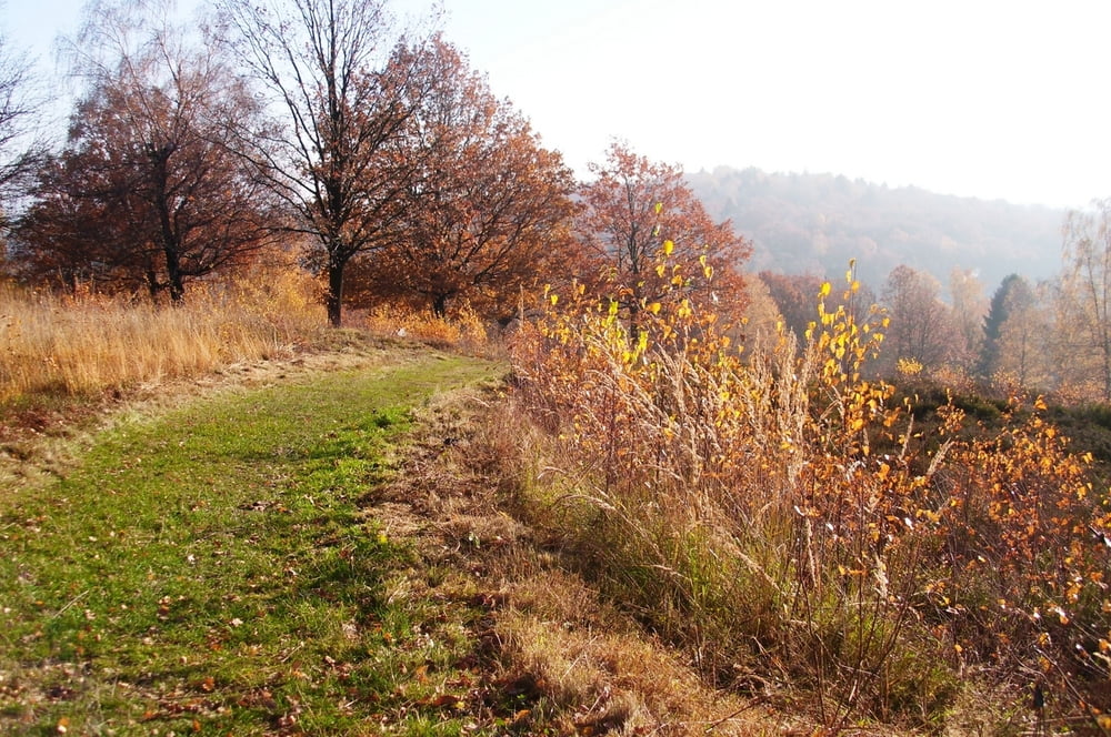
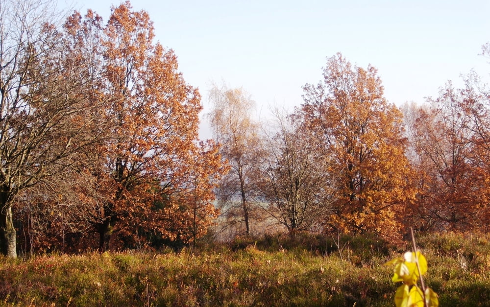
Diese Wanderung führt dich vom Bärenstein über den Hermannsweg in Richtung Berlebeck.
Zu Beginn geht es mit wunderschönen Aussichten steil bergauf. Später durch schöne Waldgebiete. Insgesamt eine schöne Strecke. Aus Zeitgründen habe ich die Strecke ohne Probleme 2 x gekürzt. Statt 16, nun 12 km. Das Stück an der Straße ist nicht so schön, Du kannst aber durch das Bachbett gehen.
Viel Spaß beim Nachwandern.
galéria trás
Mapa trasy a výškový profil
Minimum height 222 m
Maximum height 383 m
komentáre

GPS trasy
Trackpoints-
GPX / Garmin Map Source (gpx) download
-
TCX / Garmin Training Center® (tcx) download
-
CRS / Garmin Training Center® (crs) download
-
Google Earth (kml) download
-
G7ToWin (g7t) download
-
TTQV (trk) download
-
Overlay (ovl) download
-
Fugawi (txt) download
-
Kompass (DAV) Track (tk) download
-
list trasy (pdf) download
-
Original file of the author (gpx) download
Add to my favorites
Remove from my favorites
Edit tags
Open track
My score
Rate


