


Wir sind in Lands End gestartet und von dort dem South West Coastpath bis Penberth gefolgt. Von Penberth aus sind wir nach Treen zum busstop wo wir den Bus zurück nach Land´s End genommen haben.
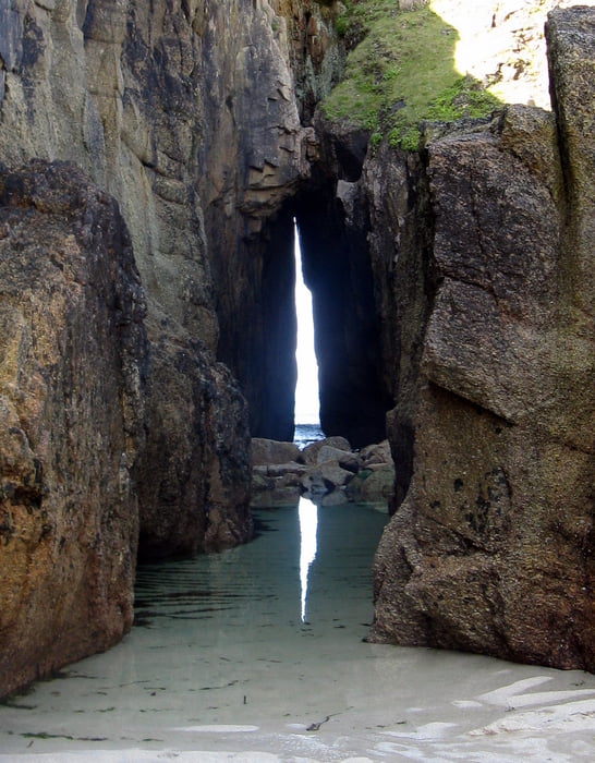
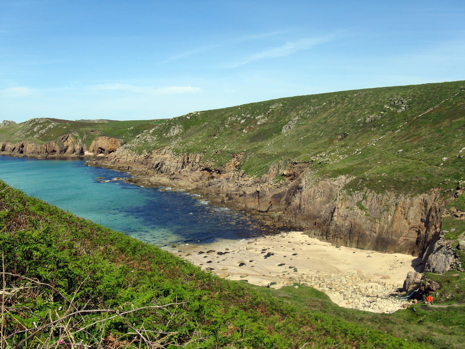
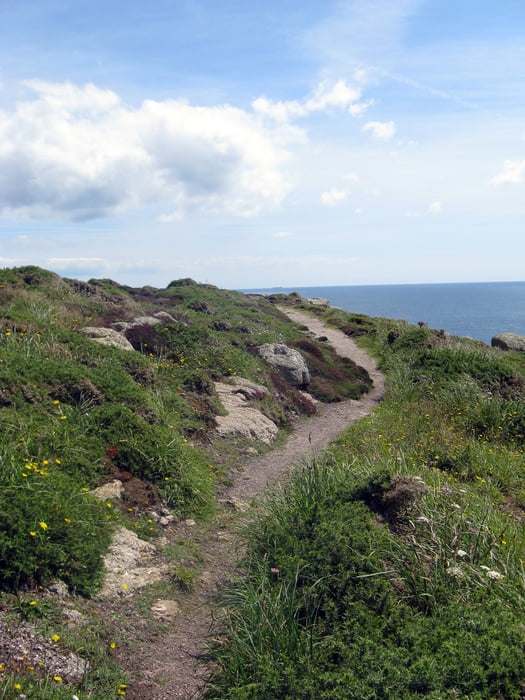
Die Tour ist konditionell nicht ganz ohne Anspruch, da der Path stellenweise etwas an die Alpen erinnert und man auch ein wenig klettern muss. Dazu kommt, dass man an der Küste entlang geht und jede Bucht die sich dort findet führt der Path runter und wieder hoch, wodurch sich dann die Höhenmeter ergeben.
Landschaftlich ist diese Gegend mit das Schönste was ich je gesehen habe. Grüne Wiesen, atemberauben Klippen und traumhafte kleine Strände und Buchten.
Further information at
http://www.southwestcoastpath.com/galéria trás
Mapa trasy a výškový profil
Minimum height 3 m
Maximum height 89 m
More about the tour author

|
AnnaS |
komentáre

Nach Lands End kommt man entweder über die A30, an Sennen vorbei, die dort quasi endet oder über die B 3315 über die auch der Bus fährt mit dem man später zurück nach Land´s End fährt. Da Land´s End der westlichste Punkt Englands ist, kann man es kaum verfehlen. Zu dem ist Land´s End gut ausgeschildert.
GPS trasy
Trackpoints-
GPX / Garmin Map Source (gpx) download
-
TCX / Garmin Training Center® (tcx) download
-
CRS / Garmin Training Center® (crs) download
-
Google Earth (kml) download
-
G7ToWin (g7t) download
-
TTQV (trk) download
-
Overlay (ovl) download
-
Fugawi (txt) download
-
Kompass (DAV) Track (tk) download
-
list trasy (pdf) download
-
Original file of the author (gpx) download
More about the tour author
|
|
AnnaS |
Add to my favorites
Remove from my favorites
Edit tags
Open track
My score
Rate