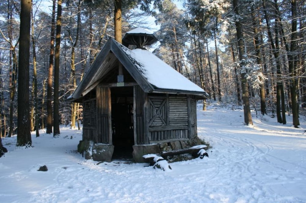
Kleiner Rundwanderweg
Der Weg führt zu zwei kleinen Hütten die zum picknicken im Wald einladen. Auch für Wasser ist gesorgt, da etwas Abseits vom Weg eine kleine eingefasste Quelle zu finden ist.
Mapa trasy a výškový profil
Minimum height 429 m
Maximum height 577 m
komentáre

Busslinie durchs Modenbachtal (Landau nach Edenkoben)
Mit dem Auto: Modenbachtal aus Richtung Burrweiler kommend, am Forsthaus Heldenstein vorbei, der Strasse bis Parkplatz Lolosruh.
GPS trasy
Trackpoints-
GPX / Garmin Map Source (gpx) download
-
TCX / Garmin Training Center® (tcx) download
-
CRS / Garmin Training Center® (crs) download
-
Google Earth (kml) download
-
G7ToWin (g7t) download
-
TTQV (trk) download
-
Overlay (ovl) download
-
Fugawi (txt) download
-
Kompass (DAV) Track (tk) download
-
list trasy (pdf) download
-
Original file of the author (gpx) download
Add to my favorites
Remove from my favorites
Edit tags
Open track
My score
Rate


