


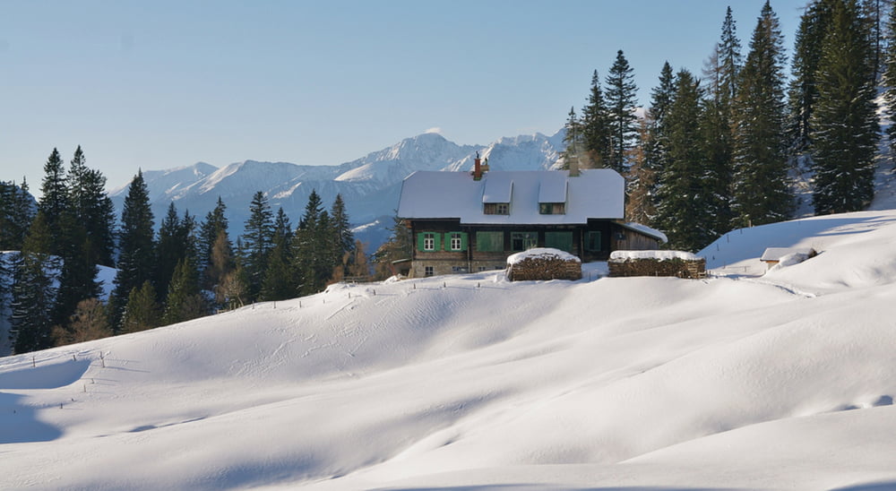
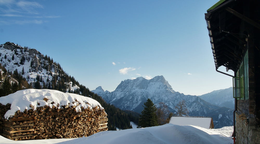
Die Schneeschuhtour zum Grabneralmhaus beginnt beim Parkplatz direkt am Buchauersattel auf 885m. Sie hat eine Länge von 8,5 Kilometer und 520 Höhenmeter. Nach den ersten 200 Metern über eine Wiese gehen wir ca. einen Kilometer auf dem alten Forstweg mit einer durchschnittlichen Steigung von 16%. Die restlichen 3,3 Kilometer bis zum Grabneralm Haus haben dann auf dem neuen Forstweg nur mehr eine durchschnittliche Steigung von ca. 10%. Nach 2,9 km verlassen wir den Wald und über das Almgelände hinweg sehen wir zum ersten Mal unser Ziel. Es folgen relativ flache bis ebene 800m, bevor es zum Grabneralmhaus nochmals rund 70 Höhenmeter hinauf geht.
Weitere Infos und Fotos findest du auf biketours4you.at
galéria trás
Mapa trasy a výškový profil
Minimum height 837 m
Maximum height 1415 m
More about the tour author
|
|
Trek1400d |
komentáre

GPS trasy
Trackpoints-
GPX / Garmin Map Source (gpx) download
-
TCX / Garmin Training Center® (tcx) download
-
CRS / Garmin Training Center® (crs) download
-
Google Earth (kml) download
-
G7ToWin (g7t) download
-
TTQV (trk) download
-
Overlay (ovl) download
-
Fugawi (txt) download
-
Kompass (DAV) Track (tk) download
-
list trasy (pdf) download
-
Original file of the author (gpx) download
More about the tour author
|
|
Trek1400d |
Add to my favorites
Remove from my favorites
Edit tags
Open track
My score
Rate