
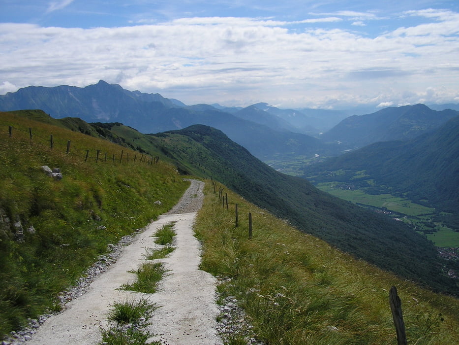

Percorso di collegamento tra la Traversata Carsica e la Traversata Giuliana. Si svolge, per quanto possibile, a ridosso del confine tra Italia e Slovenia e consente di godere della bellezza, a tratti selvaggia, delle prealpi e le alpi Giulie . Parte del percorso interessa strade asfaltate ma sempre prive di traffico automobilistico. La parte più bella dell'itinerario oltre all'attraversamento del monte Matajur e dello Stol (Slovenia) è senza dubbio la salita del Monte Lussari con il raggiugimento dell'omonimo Santuario
galéria trás


Mapa trasy a výškový profil
Minimum height 91 m
Maximum height 1761 m
More about the tour author

|
dalle6161 |
komentáre

GPS trasy
Trackpoints-
GPX / Garmin Map Source (gpx) download
-
TCX / Garmin Training Center® (tcx) download
-
CRS / Garmin Training Center® (crs) download
-
Google Earth (kml) download
-
G7ToWin (g7t) download
-
TTQV (trk) download
-
Overlay (ovl) download
-
Fugawi (txt) download
-
Kompass (DAV) Track (tk) download
-
list trasy (pdf) download
-
Original file of the author (gpx) download
More about the tour author
|
|
dalle6161 |
Add to my favorites
Remove from my favorites
Edit tags
Open track
My score
Rate