Login

Zabudli ste prihlasovacia meno

Cookies have to be accepted!
Your browser's cookie functionality is disabled. Please enable this functionality.

Not a member yet?

Register now
Login

Available for registred users only

Log in to use this feature.

Zabudli ste prihlasovacia meno

Cookies have to be accepted!
Your browser's cookie functionality is disabled. Please enable this functionality.

Not a member yet?

Register now
Filter
Kategórie
Advanced filters
  • Dĺžka (km)
  • výškomer
Uložiť filter Reset filter

TrackRank

QRCode

Technical data

Dĺžka51,1 km výškomer163 m Way down167 m Doba02:25 h:m dátum13.01.2013
ohodnotenia Author Kraj pôžitok z túry kondícia technika

štatistika

716 náhľady ohodnotenia 74 Stiahnutia priemer
Rate
  • list trasy
  • príjazd
  • Stiahnutia
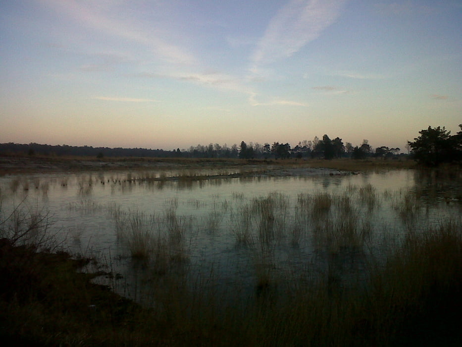
Een mountainbiketocht net over de Nederlandse grens. Het gaat om een sportieve tocht binnen boordevol natuur in een schitterende bosrijke omgeving. De atb-tocht biedt de kans aan iedere wielerliefhebber om zichzelf eens grondig te testen, maar net zo goed om er een ontspannen dag met vrienden en/of familie van te maken.

Mapa trasy a výškový profil

  • Open Street Map
  • Google
Minimum height -2 m Maximum height 22 m Detailný pohľad

More about the tour author

vriesxj
Member since 2008

Send private message

komentáre

GPS trasy

Trackpoints
  • GPX / Garmin Map Source (gpx) download
  • TCX / Garmin Training Center® (tcx) download
  • CRS / Garmin Training Center® (crs) download
  • Google Earth (kml) download
  • G7ToWin (g7t) download
  • TTQV (trk) download
  • Overlay (ovl) download
  • Fugawi (txt) download
  • Kompass (DAV) Track (tk) download
  • list trasy (pdf) download
  • Original file of the author (gpx) download

More about the tour author

vriesxj
Member since 2008

Send private message
Share track
Add to my favorites
Remove from my favorites
Edit tags
My score
Rate
trasa: Toertocht Putte
Druh: horský bicykel
Dĺžka: 51,1 km
Evaluated on:
Doba:
Day(s)
Hour(s)
Minute(s)
ohodnotenie: Kraj pôžitok z túry kondícia technika