


Leichte Schneeschuhtour (Rundkurs) im Nonstal.
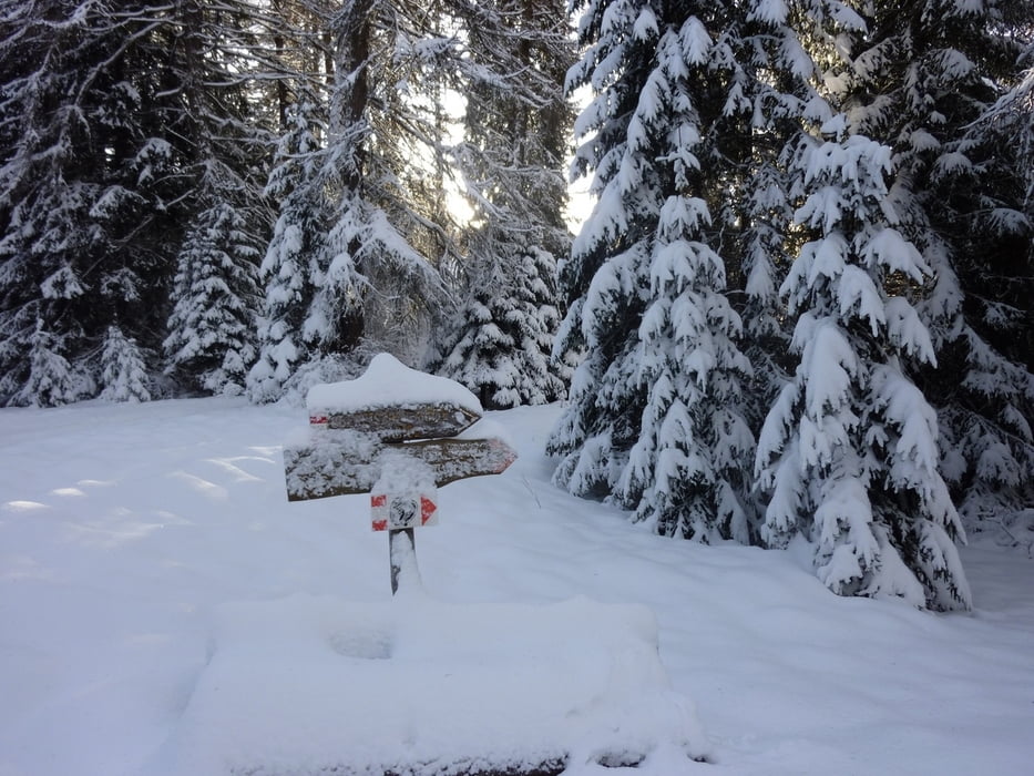
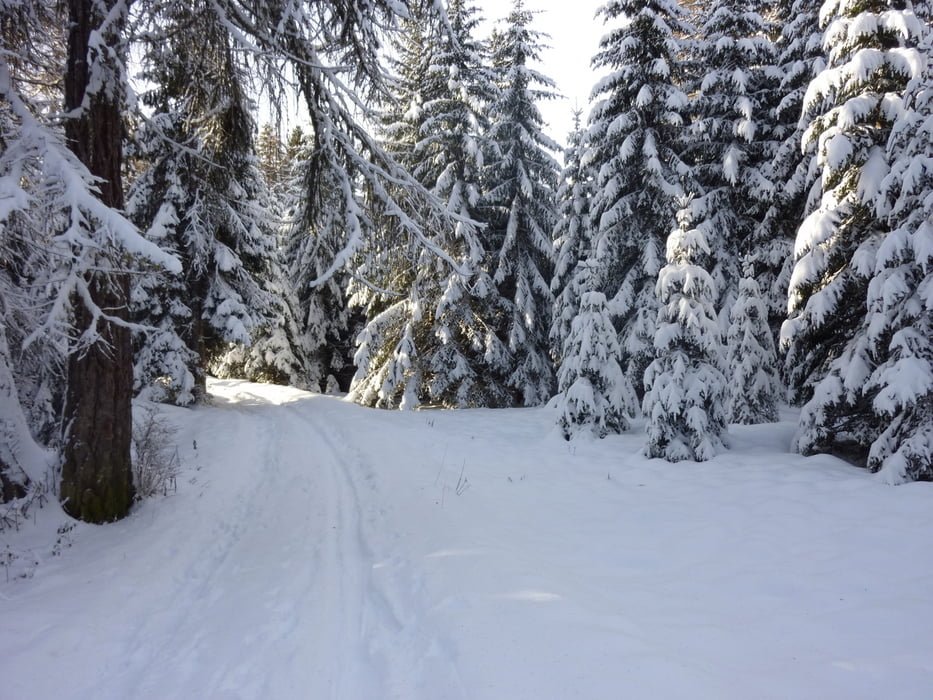
Vom Parkplatz starten wir Richtung Norden auf einen gebahnten Forstweg den wir nach ca 10 Min. verlassen und den Weg Nr. 515 nehmen der uns bis auf den Penegal (1737 m) bringt.
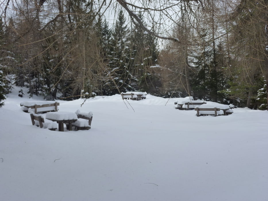
Die Aussicht hier belohnt alle Mühen des Aufstiegs. Wir nehmen jetzt die Markierung Nr. 508 die uns über die ehemalige Skipiste zur Malga Malosco (Winterruhe) und weiter zu den Regolen bringt. Hier gibt es mehrere Einkehrmöglichkeiten.
Hotel "Il Falchetto", Rifugio "La Monteson" (Empfehlenswert die Trentiner Spezialität "carne salada") und das Rifugio "Regole".
Nun auf Weg Nr. 514 Richtung Süden im leichten auf und ab bis zum Auto.
Landkarte: Tabacco Nr.049
Further information at
http://www.visitvaldinon.com/de/ferien-val-di-non-trentino/winter/winter.htmlgaléria trás
Mapa trasy a výškový profil
Minimum height 1261 m
Maximum height 1734 m
More about the tour author
|
|
Califan |
komentáre

Von Bozen Richtung Eppan und über den Mendelpass bis zum Hotel Paradiso (von der Passhöhe ca. 2 Km). Parkplatz 100 m hinter dem Hotel (gebührenfrei).
GPS trasy
Trackpoints-
GPX / Garmin Map Source (gpx) download
-
TCX / Garmin Training Center® (tcx) download
-
CRS / Garmin Training Center® (crs) download
-
Google Earth (kml) download
-
G7ToWin (g7t) download
-
TTQV (trk) download
-
Overlay (ovl) download
-
Fugawi (txt) download
-
Kompass (DAV) Track (tk) download
-
list trasy (pdf) download
-
Original file of the author (gpx) download
More about the tour author
|
|
Califan |
Add to my favorites
Remove from my favorites
Edit tags
Open track
My score
Rate