Login

Zabudli ste prihlasovacia meno

Cookies have to be accepted!
Your browser's cookie functionality is disabled. Please enable this functionality.

Not a member yet?

Register now
Login

Available for registred users only

Log in to use this feature.

Zabudli ste prihlasovacia meno

Cookies have to be accepted!
Your browser's cookie functionality is disabled. Please enable this functionality.

Not a member yet?

Register now
Filter
Kategórie
Advanced filters
  • Dĺžka (km)
  • výškomer
Uložiť filter Reset filter

TrackRank

QRCode

Technical data

Dĺžka5,1 km výškomer521 m Way down530 m Doba03:00 h:m dátum19.02.2013
ohodnotenia Author Kraj pôžitok z túry kondícia technika

štatistika

1098 náhľady ohodnotenia 96 Stiahnutia priemer
Rate
  • list trasy
  • príjazd
  • Stiahnutia

Wir haben unser Auto auf dem Parkplatz bei der Gimsoystraumen-Brücke abgestellt und sind vor dort zum Startpunkt am Straßenabzweig nach Brenna bereits auf Skiern gelaufen.


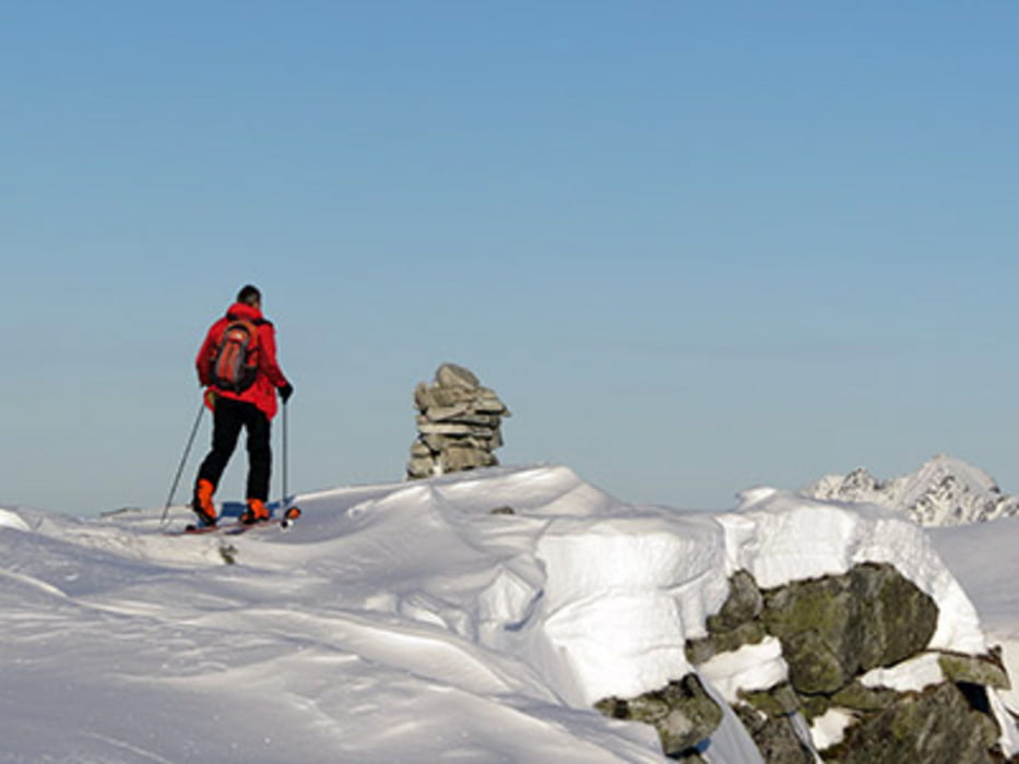
Der Anstieg führt zunächst über einen recht dicht bewachsenen Bergrücken. Glücklicherweise hatte ein paar Tage zuvor ein Einheimischer Spuren hinterlassen. So war der Weg durch das Gebüsch leichter zu finden. Weiter oben ist der Hang nur vereinzelt von Steinen durchsetzt und leicht zu besteige


Mapa trasy a výškový profil

  • Open Street Map
  • Google
Minimum height 4 m Maximum height 531 m Detailný pohľad

More about the tour author

biauwe
Member since 2008

Send private message

komentáre

GPS trasy

Trackpoints
  • GPX / Garmin Map Source (gpx) download
  • TCX / Garmin Training Center® (tcx) download
  • CRS / Garmin Training Center® (crs) download
  • Google Earth (kml) download
  • G7ToWin (g7t) download
  • TTQV (trk) download
  • Overlay (ovl) download
  • Fugawi (txt) download
  • Kompass (DAV) Track (tk) download
  • list trasy (pdf) download
  • Original file of the author (gpx) download

More about the tour author

biauwe
Member since 2008

Send private message
Share track
Add to my favorites
Remove from my favorites
Edit tags
My score
Rate
trasa: 534 m hohe Kleppstadheia bei Kleppstad
Druh: lyže
Dĺžka: 5,1 km
Evaluated on:
Doba:
Day(s)
Hour(s)
Minute(s)
ohodnotenie: Kraj pôžitok z túry kondícia technika