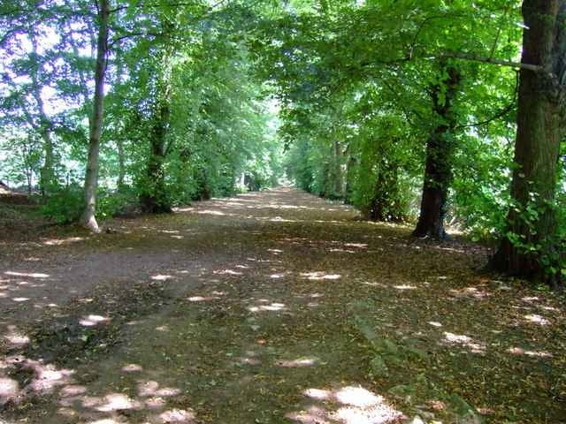
Nice little Mountainbike and Sightseeing Tour in Oxford.
Trail-loop:
Oxford - Shotover - Wheatley - Shotover - Horspath - Shotover - Oxford
This loop is done twice to give some distance, and then instead of taking the direct route back, take the northern bypass and head back via Summertown and Oxford city centre.
The Last bit is onroad on cycling ways.
The first bit at Shotover estate is a propper Mountainbike ride with singletrails and steep up-/downhills. Overall quite a nice MTB-ride in Oxford.
In Oxford city centre the trail passes by
- Pitt rivers Museum
- Oxford Museum of Natural History
- Wadham College
- Broad Street
- Hertford Bridge if Sighs
- Hertford College
- New College
- Queens College
- Magdalen College
- Magdalen Bride
So you might want to take your Camera with you!
Further information at
http://www.shotover-wildlife.org.uk/galéria trás
Mapa trasy a výškový profil
Minimum height 55 m
Maximum height 171 m
komentáre

Starts at Palladian Court off Cowley Road. Turn off A4142 (Eastern Bypass Road) at the Mini Plant.
GPS trasy
Trackpoints-
GPX / Garmin Map Source (gpx) download
-
TCX / Garmin Training Center® (tcx) download
-
CRS / Garmin Training Center® (crs) download
-
Google Earth (kml) download
-
G7ToWin (g7t) download
-
TTQV (trk) download
-
Overlay (ovl) download
-
Fugawi (txt) download
-
Kompass (DAV) Track (tk) download
-
list trasy (pdf) download
-
Original file of the author (gpx) download
Add to my favorites
Remove from my favorites
Edit tags
Open track
My score
Rate


