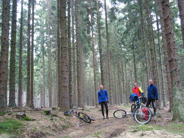
Die Strecke von 2003 wurde ein wenig unfreiwillig um die Schleife durch die Hellmonsödter Forste erweitert, weil ich den Einstieg in eben diese versäumt habe. Trotzdem ganz nett, bloss schon sehr gatschig um diese Jahreszeit. Außerdem war es um 8h morgens mit 10 Grad noch relativ frisch...
Mapa trasy a výškový profil
Minimum height 253 m
Maximum height 932 m
komentáre

Vorher 150km Service bei Simplon Stomp gemacht.
GPS trasy
Trackpoints-
GPX / Garmin Map Source (gpx) download
-
TCX / Garmin Training Center® (tcx) download
-
CRS / Garmin Training Center® (crs) download
-
Google Earth (kml) download
-
G7ToWin (g7t) download
-
TTQV (trk) download
-
Overlay (ovl) download
-
Fugawi (txt) download
-
Kompass (DAV) Track (tk) download
-
list trasy (pdf) download
-
Original file of the author (g7t) download
Add to my favorites
Remove from my favorites
Edit tags
Open track
My score
Rate

