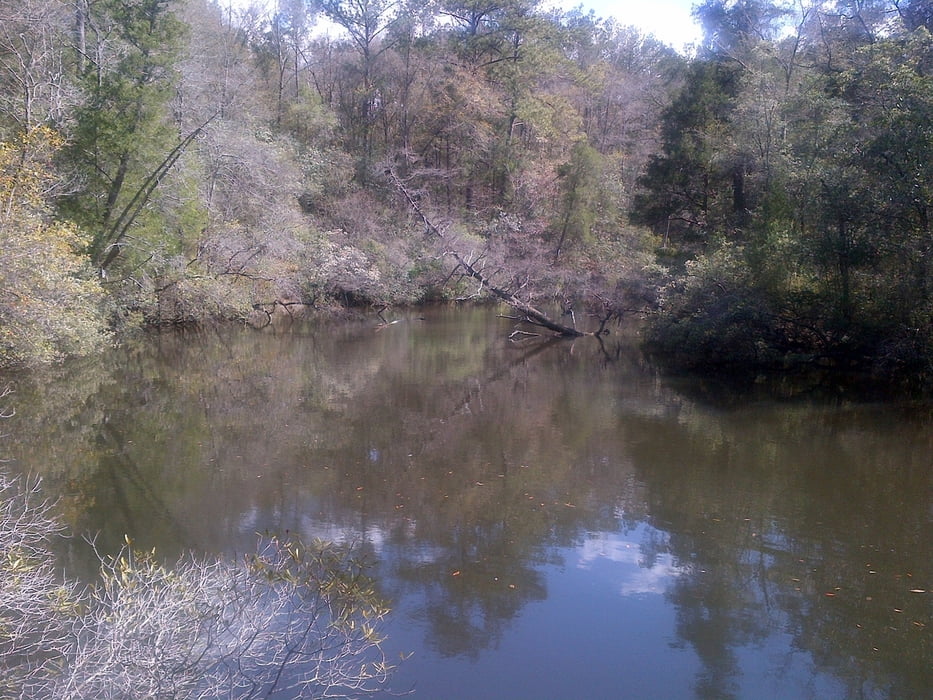
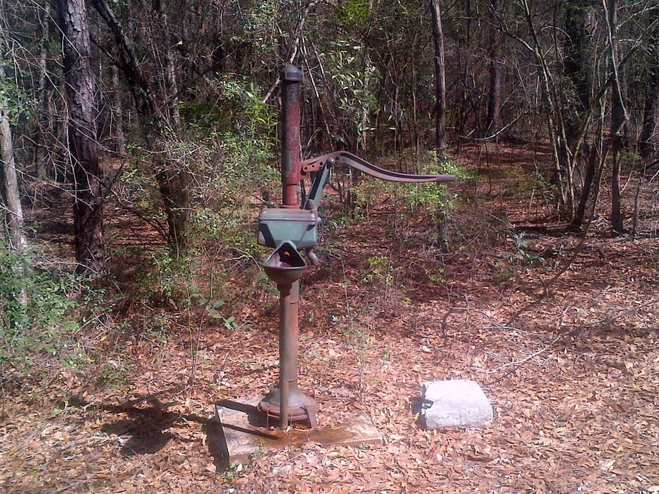
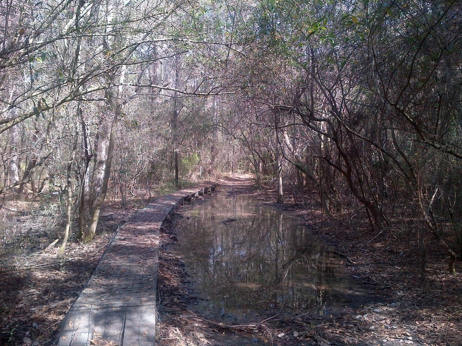
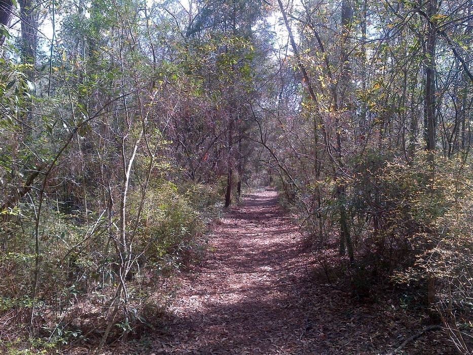
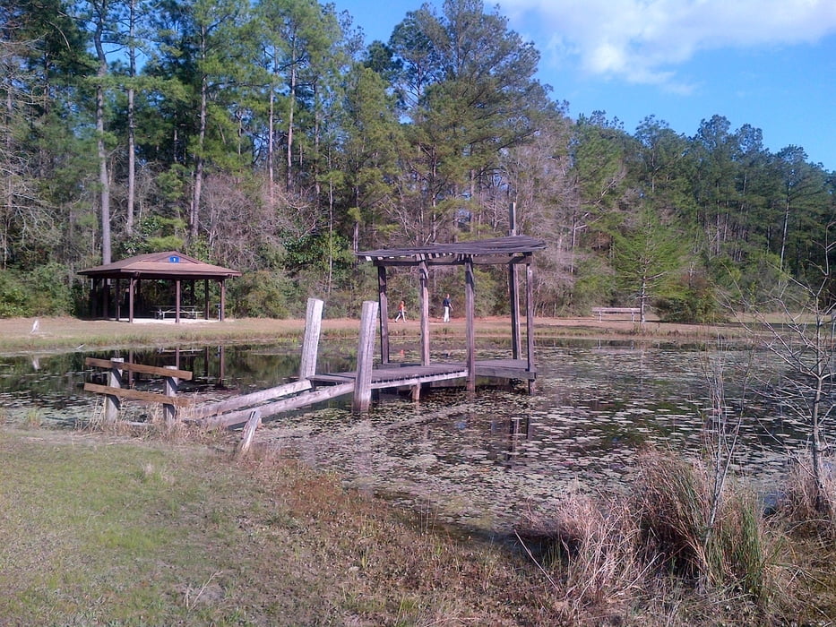
Easy walk through the swampy Chickasabogue Park on the well marked bike/hicking trails (Indian Loop, Beach Loop and Cemetery Loop).
Most of the trails can also be used by mountain bike.
galéria trás
Mapa trasy a výškový profil
Minimum height -5 m
Maximum height 46 m
komentáre

The Park Entrance is located west of I-65
On 213 turn into Whistler Street and after 3/4 miles into the Aldock Road to the gate. The trail starts at the sports field.
GPS trasy
Trackpoints-
GPX / Garmin Map Source (gpx) download
-
TCX / Garmin Training Center® (tcx) download
-
CRS / Garmin Training Center® (crs) download
-
Google Earth (kml) download
-
G7ToWin (g7t) download
-
TTQV (trk) download
-
Overlay (ovl) download
-
Fugawi (txt) download
-
Kompass (DAV) Track (tk) download
-
list trasy (pdf) download
-
Original file of the author (gpx) download
Add to my favorites
Remove from my favorites
Edit tags
Open track
My score
Rate

