
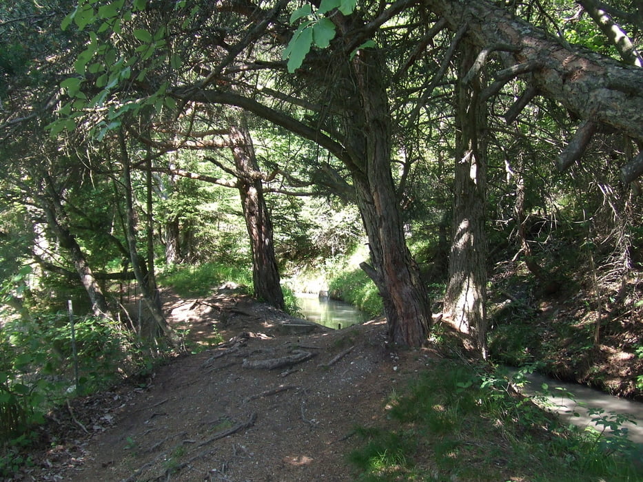

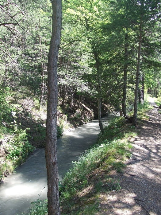
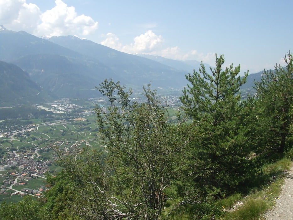
Wir beginnen unsere Wanderung am Sport-Schulzentrum in Varen. Nach einem kurzen und steilen Anstieg erreichen wir den Wasserleitungsweg. Auf der einen Seite die Wasserleitung und auf der anderen Seite eine tolle Sicht in das Rhonetal. Wir sind den schönen Weg zurückgegangen. Es besteht auf der Rhonetalseite die Möglichkeit abzusteigen und den Heimweg anzutreten. Essen und Trinken muß mitgenommen werden.
galéria trás


Mapa trasy a výškový profil
Minimum height 762 m
Maximum height 1090 m
More about the tour author

|
civap |
komentáre

Auf der Kantonstraße 9 (E62) in Susten Richtung Leuk abbiegen. Weiter die Beschilderung Varen und in Varen die Schilder Schul-Sportzentrum folgen.
Paletenstrasse 9
3953 Varen, Schweiz
46.319826, 7.609324
+46° 19' 11.37", +7° 36' 33.57"
GPS trasy
Trackpoints-
GPX / Garmin Map Source (gpx) download
-
TCX / Garmin Training Center® (tcx) download
-
CRS / Garmin Training Center® (crs) download
-
Google Earth (kml) download
-
G7ToWin (g7t) download
-
TTQV (trk) download
-
Overlay (ovl) download
-
Fugawi (txt) download
-
Kompass (DAV) Track (tk) download
-
list trasy (pdf) download
-
Original file of the author (gpx) download
More about the tour author
|
|
civap |
Add to my favorites
Remove from my favorites
Edit tags
Open track
My score
Rate