


------------------------------------------------------------------------------------------------------------------
Quelle der GPS Touren ist die Almeria Bike Station
www.almeria-bike-tours.de
Wunderbare Betreuung und Verköstigung auf Haubenniveau durch Christel Steinhauser und Familie.
Shuttledienste und Verleih von MTBs und Quartier erfolgte
ebenfalls durch die Bikestation
-------------------------------------------------------------------------------------------------------------------
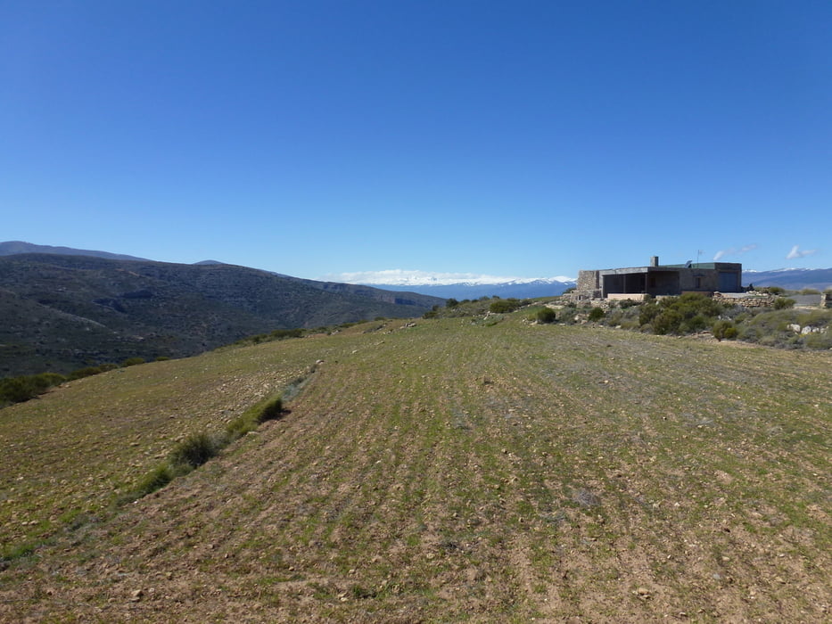
Eine Runde über die Sierra de Gator. Ist der Sierra Navada vorgelagert.
Startpunkt auf 700 M beim Windradpark. Auf leicht und stetig ansteigenden Sand- und Kiespiste bis auf 1440 M zur Kapelle Saturno mit Blick auf die verschneiten Berge der Sierra Nevada.
DIe Landschaft beeindruckt durch verschiedene Vegetationszonen Mandelbaum- und Kieferbaumbestände. Von der Kapelle geht es hinunter in dei Alpujarra almeriense durch kleine Dörfer mit dem Ende der Tour in der Taverne Perez in Alhabia.
galéria trás


Mapa trasy a výškový profil
Minimum height 280 m
Maximum height 1460 m
More about the tour author
|
|
abauchinger |
komentáre

GPS trasy
Trackpoints-
GPX / Garmin Map Source (gpx) download
-
TCX / Garmin Training Center® (tcx) download
-
CRS / Garmin Training Center® (crs) download
-
Google Earth (kml) download
-
G7ToWin (g7t) download
-
TTQV (trk) download
-
Overlay (ovl) download
-
Fugawi (txt) download
-
Kompass (DAV) Track (tk) download
-
list trasy (pdf) download
-
Original file of the author (tcx) download
More about the tour author
|
|
abauchinger |
Add to my favorites
Remove from my favorites
Edit tags
Open track
My score
Rate