

Die Tour beginnt ganz in der Nähe der Paddelweiherhütte und führt zunächst ein kleines Stück durch Hauenstein - ein erster Stopp kann dort im Deutschen Schuhmuseum eingelegt werden. Vom Ortsrand Hauenstein geht es anschließend auf einem wunderschönen Pfad, bergauf zu einer Schutzhütte. Die Strecke führt an verschiedenen Felsenformationen vorbei, die einen herrlichen Ausblick nach Hauenstein ermöglichen. Auf dem Weg zum Wanderheim Drei Dicke Eichen liegt der Hühnerstein, ein hoher Fels zu dessen obersten Punkt eine Leiter hoch führt - der Aufstieg ist wirklich empfehlenswert, die Mühe wird belohnt. Zurück zur Paddelweiherhütte kommt man an der Queich-Quelle vorbei, an der man Kneipp-Wassertreten kann.
galéria trás


Mapa trasy a výškový profil
Minimum height 216 m
Maximum height 458 m
More about the tour author

|
isg13 |
komentáre

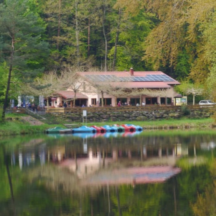
Startpunkt der Tour ist ein kleiner Parkplatz in der Nähe der Paddelweiherhütte bei Hauenstein.
GPS trasy
Trackpoints-
GPX / Garmin Map Source (gpx) download
-
TCX / Garmin Training Center® (tcx) download
-
CRS / Garmin Training Center® (crs) download
-
Google Earth (kml) download
-
G7ToWin (g7t) download
-
TTQV (trk) download
-
Overlay (ovl) download
-
Fugawi (txt) download
-
Kompass (DAV) Track (tk) download
-
list trasy (pdf) download
-
Original file of the author (gpx) download
More about the tour author
|
|
isg13 |
Add to my favorites
Remove from my favorites
Edit tags
Open track
My score
Rate