

Neue Variante von einer Monte Velo-Tour
S1-S2
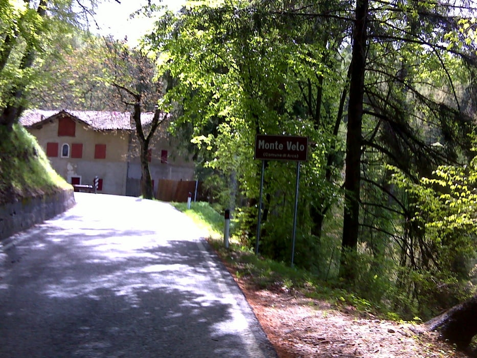
Start in Torbole über Radweg nach Arco,über die Monte Velo Straße nach Santa Barbara.Höchster Punkt.Ab hier tolle Abfaht auf alten Wegen richtung Ronzo,durch den Ort weiter über eine grobe Schotterpassage .Weiter einen schönen Trail der bei einer Nebenstarße nach Manzano endet,der kurz folgen am höchsten Punkt recht den steilen Weg entlang(nicht ganz rechts)Hier sieht man noch die alten Stellungssysteme vom 1.Weltkrieg.ca 5min schieben auf steilem weg geht es bei den Stellungen vorbei auf wunderschönem Trail(Spitzkehren....)weiter auf Schotterwegen und Trails bis hinab nach Loppio.Radweg weiter nach Nago und verstecktem Trail nach Torbole.
galéria trás


Mapa trasy a výškový profil
Minimum height 75 m
Maximum height 1172 m
More about the tour author
|
|
josef_zinganel |
komentáre

GPS trasy
Trackpoints-
GPX / Garmin Map Source (gpx) download
-
TCX / Garmin Training Center® (tcx) download
-
CRS / Garmin Training Center® (crs) download
-
Google Earth (kml) download
-
G7ToWin (g7t) download
-
TTQV (trk) download
-
Overlay (ovl) download
-
Fugawi (txt) download
-
Kompass (DAV) Track (tk) download
-
list trasy (pdf) download
-
Original file of the author (gpx) download
More about the tour author
|
|
josef_zinganel |
Add to my favorites
Remove from my favorites
Edit tags
Open track
My score
Rate