Login

Zabudli ste prihlasovacia meno

Cookies have to be accepted!
Your browser's cookie functionality is disabled. Please enable this functionality.

Not a member yet?

Register now
Login

Available for registred users only

Log in to use this feature.

Zabudli ste prihlasovacia meno

Cookies have to be accepted!
Your browser's cookie functionality is disabled. Please enable this functionality.

Not a member yet?

Register now
Filter
Kategórie
Advanced filters
  • Dĺžka (km)
  • výškomer
Uložiť filter Reset filter

TrackRank

QRCode

Technical data

Dĺžka15,6 km výškomer578 m Way down560 m Doba04:00 h:m dátum26.05.2013
ohodnotenia Author Kraj pôžitok z túry kondícia technika

štatistika

648 náhľady ohodnotenia 118 Stiahnutia priemer
Rate
  • list trasy
  • príjazd
  • Stiahnutia
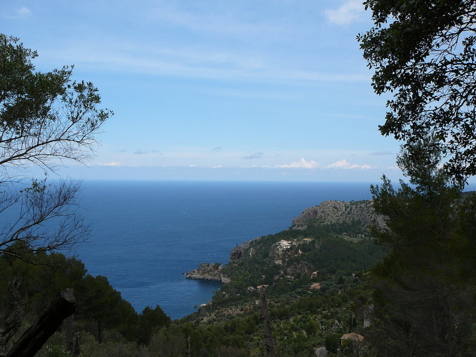
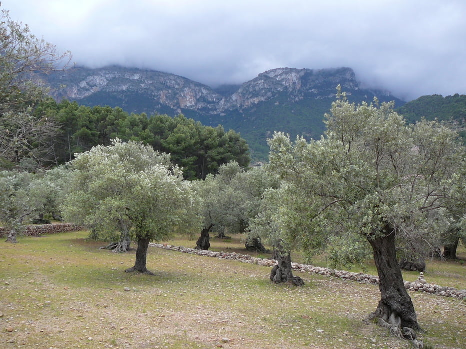
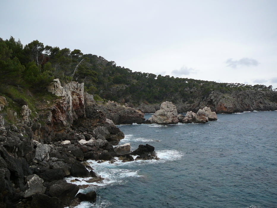
Auto geparkeerd aan de MA-10 in de buurt van Hotel. en vanaf hier de GR-221 naar Deia gelopen. Terug onderlangs en het laatste stuk weer via de GR-221 tot de auto.

galéria trás

Mapa trasy a výškový profil

  • Open Street Map
  • Google
Minimum height -8 m Maximum height 291 m Detailný pohľad

More about the tour author

WePe
Member since 2012

Send private message

komentáre

GPS trasy

Trackpoints
  • GPX / Garmin Map Source (gpx) download
  • TCX / Garmin Training Center® (tcx) download
  • CRS / Garmin Training Center® (crs) download
  • Google Earth (kml) download
  • G7ToWin (g7t) download
  • TTQV (trk) download
  • Overlay (ovl) download
  • Fugawi (txt) download
  • Kompass (DAV) Track (tk) download
  • list trasy (pdf) download
  • Original file of the author (gpx) download

More about the tour author

WePe
Member since 2012

Send private message
Share track
Add to my favorites
Remove from my favorites
Edit tags
My score
Rate
trasa: Deia
Druh: trasa
Dĺžka: 15,6 km
Evaluated on:
Doba:
Day(s)
Hour(s)
Minute(s)
ohodnotenie: Kraj pôžitok z túry kondícia technika