


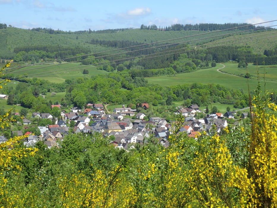
Wir fahren vom Roßbachtal aus auf dem Radweg nach Weidelbach und weiter durch den Hauberg auf die Ewersbacher Höhe.Von hier geht es weiter bis zum Herzogsweg.An einer Kreuzung geht es rechts ab auf eine tolle Abfahrt nach Rittershausen. Weiter fahren wir Richtung Forsthaus Dietzhölze. An einem Abzweig geht es steil hoch zum Eichholzkopf. Von der Skihütte aus fahren wir Richtung Ewersbach ,biegen dann rechts ab auf einen sehr schönen Weg der uns mit einer tollen Aussicht belohnt. Im Dietzhölztal überqueren wir die Straße Richtung Steinbrücken, fahren in Steinbrücken Richtung Friedhof und unterhalb der Wilhelmswarte links hoch. Nun geht es am alten Wissenbacher Sportplatz vorbei bis zur Auerhahnhütte und weiter bis oberhalb von Oberroßbach.Von hier hat man eine schöne Aussicht auf das Roßbachtal.Jetzt noch eine tolle Abfahrt am Friedhof vorbei bis ins Roßbachtal.
galéria trás


Mapa trasy a výškový profil
Minimum height 321 m
Maximum height 572 m
More about the tour author
|
|
baumgarten |
komentáre

GPS trasy
Trackpoints-
GPX / Garmin Map Source (gpx) download
-
TCX / Garmin Training Center® (tcx) download
-
CRS / Garmin Training Center® (crs) download
-
Google Earth (kml) download
-
G7ToWin (g7t) download
-
TTQV (trk) download
-
Overlay (ovl) download
-
Fugawi (txt) download
-
Kompass (DAV) Track (tk) download
-
list trasy (pdf) download
-
Original file of the author (gpx) download
More about the tour author
|
|
baumgarten |
Add to my favorites
Remove from my favorites
Edit tags
Open track
My score
Rate