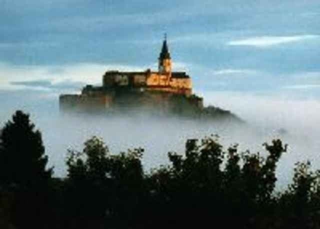
Eine Tour um die älteste Burg des Burgenlandes über sanfte Hügel, kleine typische Dörfer und historischen Bauten. Durch die gesamte Tour begleitet einen das Panorama auf die Burg Güssing, die hoch auf Ihrem Vulkankegel tront.
Wegbeschaffenheit: Nebenwege und Forstwege, meist Asphalt mit kurzen Schotter- und Waldwegen.
Wegbeschaffenheit: Nebenwege und Forstwege, meist Asphalt mit kurzen Schotter- und Waldwegen.
Further information at
http://www.burgguessing.infogaléria trás
Mapa trasy a výškový profil
Minimum height 221 m
Maximum height 337 m
komentáre
GPS trasy
Trackpoints-
GPX / Garmin Map Source (gpx) download
-
TCX / Garmin Training Center® (tcx) download
-
CRS / Garmin Training Center® (crs) download
-
Google Earth (kml) download
-
G7ToWin (g7t) download
-
TTQV (trk) download
-
Overlay (ovl) download
-
Fugawi (txt) download
-
Kompass (DAV) Track (tk) download
-
list trasy (pdf) download
-
Original file of the author (g7t) download
Add to my favorites
Remove from my favorites
Edit tags
Open track
My score
Rate


Rundweg Burg Güssing
Der Radweg B60 ist mangelhaft beschildert - aber die Einheimischen sind sehr nett und helfen gerne weiter.