Login

Zabudli ste prihlasovacia meno

Cookies have to be accepted!
Your browser's cookie functionality is disabled. Please enable this functionality.

Not a member yet?

Register now
Login

Available for registred users only

Log in to use this feature.

Zabudli ste prihlasovacia meno

Cookies have to be accepted!
Your browser's cookie functionality is disabled. Please enable this functionality.

Not a member yet?

Register now
Filter
Kategórie
Advanced filters
  • Dĺžka (km)
  • výškomer
Uložiť filter Reset filter

TrackRank

QRCode

Technical data

Dĺžka25,4 km výškomer542 m Way down537 m Doba01:50 h:m dátum05.06.2013
ohodnotenia Author User Kraj pôžitok z túry kondícia technika

štatistika

262 náhľady 1 ohodnotenie 21 Stiahnutia 3.00 priemer
Rate
  • list trasy
  • príjazd
  • Stiahnutia
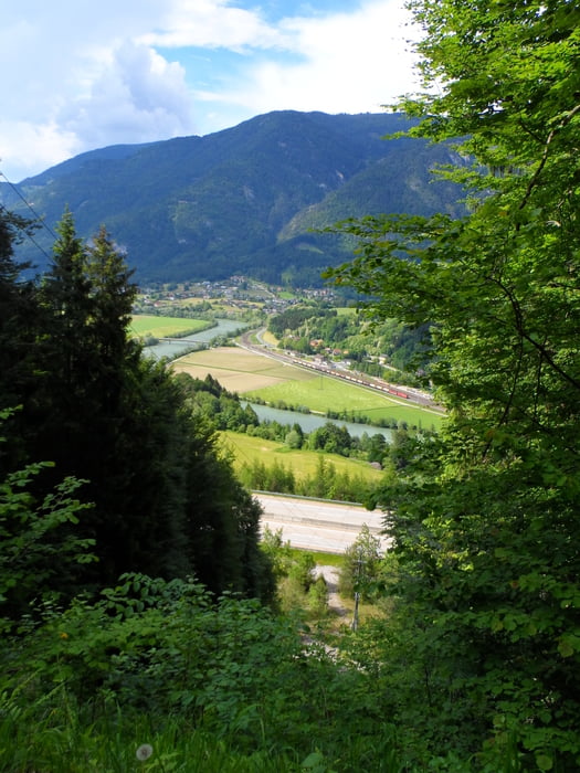
Von Bad Bleiberg geht es einem Wanderweg entlang des Baches nach Villach-ein paar Kilometer neben der Drau nach Töplitsch-von da geht es fast ausschließlich auf Schotterweg zurück nach Bad Bleiberg

galéria trás

Mapa trasy a výškový profil

  • Open Street Map
  • Google
Minimum height 510 m Maximum height 942 m Detailný pohľad

More about the tour author

plazo100
Member since 2009

Send private message

komentáre

maak300 on 08.09.2013

Schöne Rundfahrt

Schöne Tour von Villach aus. Wir sind in Lind gestartet bis Gummern am Radweg danach den Aufstieg über den Schotterweg in Richtung Bleiberg.Von Bleiberg geht es dann gemütlich wieder in Richtung Villach zurück. Tolle Tour auch im Hochsommer zu empfehlen da der Großteil im Schatten gefahren wird

GPS trasy

Trackpoints
  • GPX / Garmin Map Source (gpx) download
  • TCX / Garmin Training Center® (tcx) download
  • CRS / Garmin Training Center® (crs) download
  • Google Earth (kml) download
  • G7ToWin (g7t) download
  • TTQV (trk) download
  • Overlay (ovl) download
  • Fugawi (txt) download
  • Kompass (DAV) Track (tk) download
  • list trasy (pdf) download
  • Original file of the author (gpx) download

More about the tour author

plazo100
Member since 2009

Send private message
Share track
Add to my favorites
Remove from my favorites
Edit tags
My score
Rate
trasa: Bad Bleiberg über Wanderweg nach Villach-Drau
Druh: horský bicykel
Dĺžka: 25,4 km
Evaluated on:
Doba:
Day(s)
Hour(s)
Minute(s)
ohodnotenie: Kraj pôžitok z túry kondícia technika