


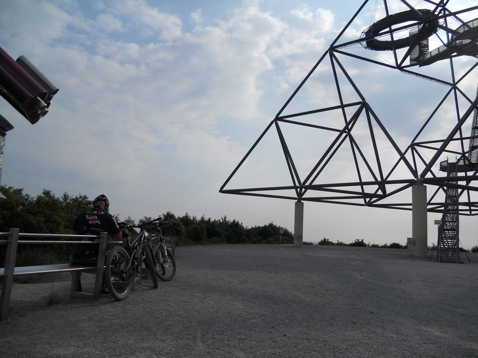
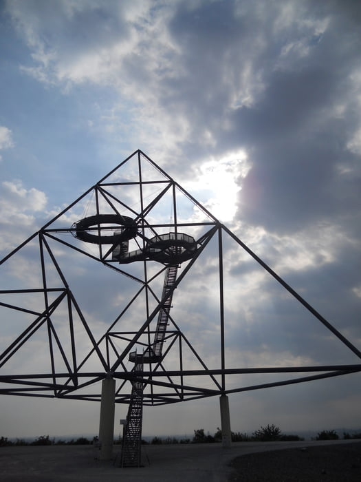
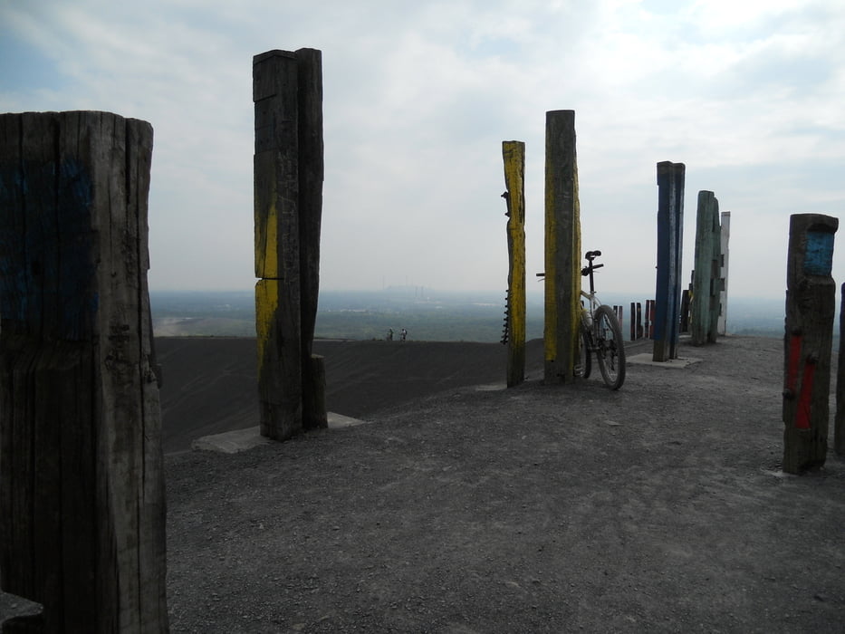
Von Moers Asberg zum Rhein,von dort aus zum Landschaftspark Duisburg,wo wir den Monte Schlacko und die Emscher überqueren.Der Weg führt uns zum Centro,entlang des Rhein Herne Kanals bis Bottrop,wo wir wieder auf die Emscher stoßen.Die Alpin und Tetraeder Halde nehmen wir auf unserem Weg zur letzten Halde unserer Tour,der Halde Haniel,mit 154m die größte in der Gegend, mit.Ein paar Kilometer durch den Kircheller Wald und der Rotbach wird erreicht.Diesem folgen wir bis zur Mündung in den Rhein.Entlang des Rheins Richtung Duisburg überqueren wir dann zum 3.Mal die Emscher.In Walsum gehts per Fähre über den Rhein nach Orsoy.Am Loheider See und durch den Baerler Busch dann wieder nach Moers.
galéria trás
Mapa trasy a výškový profil
Minimum height 18 m
Maximum height 183 m
More about the tour author

|
Thomair |
komentáre

GPS trasy
Trackpoints-
GPX / Garmin Map Source (gpx) download
-
TCX / Garmin Training Center® (tcx) download
-
CRS / Garmin Training Center® (crs) download
-
Google Earth (kml) download
-
G7ToWin (g7t) download
-
TTQV (trk) download
-
Overlay (ovl) download
-
Fugawi (txt) download
-
Kompass (DAV) Track (tk) download
-
list trasy (pdf) download
-
Original file of the author (gpx) download
More about the tour author
|
|
Thomair |
Add to my favorites
Remove from my favorites
Edit tags
Open track
My score
Rate