


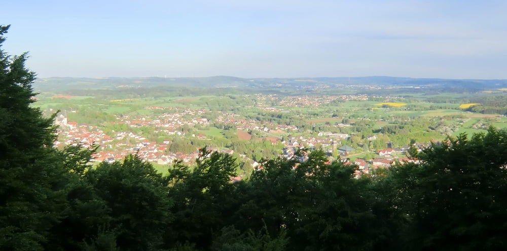
Knackige Tour durch die Wälder rings um Oberthal mit einigen Trails, Rampen und Wurzelwegen.
Achtung: Ein kurzer Streckenabschnitt wird 2mal befahren: Im ersten Streckenabschnitt höhe Teufelskanzel geradeaus halten, im zweiten Streckenabschnitt von der Teufelskanzel her kommend 2mal links abbiegen.
An 2 Punkten wird die Strecke gekreuzt. Bitte dann geradeaus halten.
Ich habe mal Wegpunkte gesetzt. Falls die irritieren bitte melden.
Ich hoffe, ihr habt Spaß beim Nachfahren.
Eine Rückmeldung wäre hilfreich und nett.
galéria trás
Mapa trasy a výškový profil
Minimum height 307 m
Maximum height 512 m
More about the tour author

|
komentáre

In die Tour kann man grundsätzlich überall einsteigen. Spaß macht es am ehesten, wenn man sie in gleicher Richtung fährt wie im Original, da man dann die Trails bergab nehmen kann. In umgekehrter Richtung funktioniert's aber auch ;-)
GPS trasy
Trackpoints-
GPX / Garmin Map Source (gpx) download
-
TCX / Garmin Training Center® (tcx) download
-
CRS / Garmin Training Center® (crs) download
-
Google Earth (kml) download
-
G7ToWin (g7t) download
-
TTQV (trk) download
-
Overlay (ovl) download
-
Fugawi (txt) download
-
Kompass (DAV) Track (tk) download
-
list trasy (pdf) download
-
Original file of the author (gpx) download
More about the tour author
|
|
Add to my favorites
Remove from my favorites
Edit tags
Open track
My score
Rate