Login

Zabudli ste prihlasovacia meno

Cookies have to be accepted!
Your browser's cookie functionality is disabled. Please enable this functionality.

Not a member yet?

Register now
Login

Available for registred users only

Log in to use this feature.

Zabudli ste prihlasovacia meno

Cookies have to be accepted!
Your browser's cookie functionality is disabled. Please enable this functionality.

Not a member yet?

Register now
Filter
Kategórie
Advanced filters
  • Dĺžka (km)
  • výškomer
Uložiť filter Reset filter

TrackRank

QRCode

Technical data

Dĺžka66,5 km výškomer1046 m Way down1059 m Doba04:10 h:m dátum09.06.2013
ohodnotenia Author Kraj pôžitok z túry kondícia technika

štatistika

444 náhľady ohodnotenia 70 Stiahnutia priemer
Rate
  • list trasy
  • príjazd
  • Stiahnutia

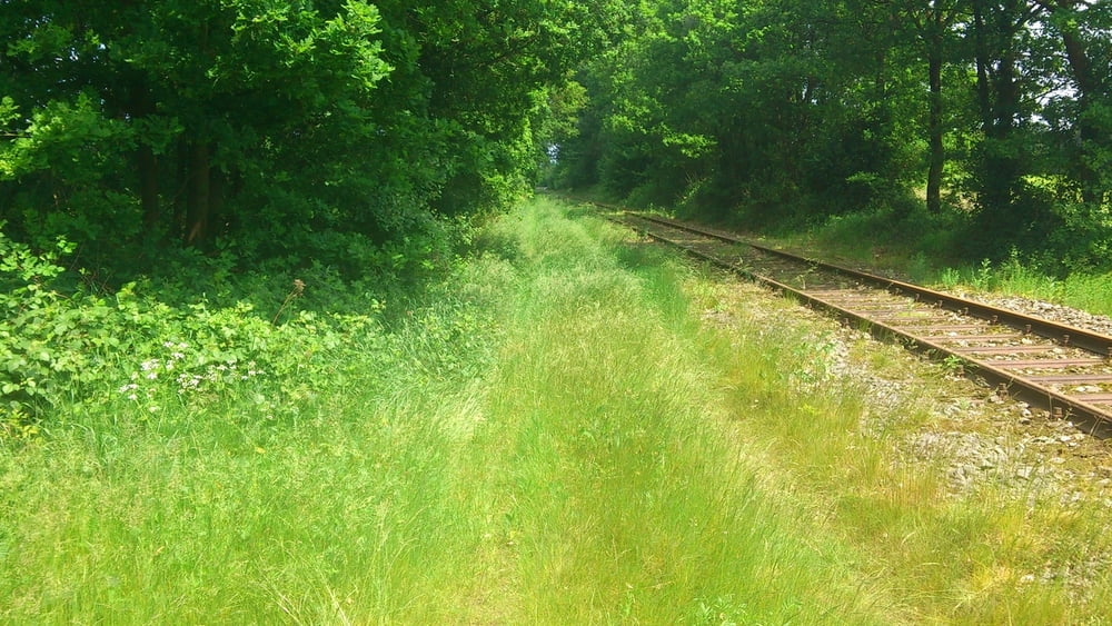
Nette Runde auf Wald und Feldwegen mit gerngen Anteil  an Aspalt Einkehrmöglichkeiten 

in Ankum und Alfhausen

Mapa trasy a výškový profil

  • Open Street Map
  • Google
Minimum height 22 m Maximum height 165 m Detailný pohľad

More about the tour author

urmeleumel
Member since 2012

Send private message

komentáre

GPS trasy

Trackpoints
  • GPX / Garmin Map Source (gpx) download
  • TCX / Garmin Training Center® (tcx) download
  • CRS / Garmin Training Center® (crs) download
  • Google Earth (kml) download
  • G7ToWin (g7t) download
  • TTQV (trk) download
  • Overlay (ovl) download
  • Fugawi (txt) download
  • Kompass (DAV) Track (tk) download
  • list trasy (pdf) download
  • Original file of the author (gpx) download

More about the tour author

urmeleumel
Member since 2012

Send private message
Share track
Add to my favorites
Remove from my favorites
Edit tags
My score
Rate
trasa: Maiburg 09.06.13
Druh: horský bicykel
Dĺžka: 66,5 km
Evaluated on:
Doba:
Day(s)
Hour(s)
Minute(s)
ohodnotenie: Kraj pôžitok z túry kondícia technika