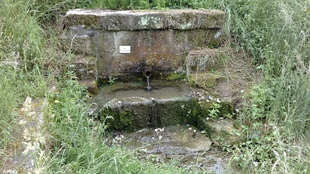
Heute zieht es uns mal wieder in den Itzgrund, da uns die letzte Tour zum Christenstein neugierig auf mehr gemacht hat. Startpunkt ist diesmal der Platz an der Linde in der oberen Dorfstraße in Schottenstein. Hier können bequem mehrere Fahrzeuge abgestellt werden....
Wer mehr lesen möchte, klickt auf untenstehenden Link
Further information at
http://wandern-im-coburger-land.de/schottensteinrunde.htmlMapa trasy a výškový profil
Minimum height 34 m
Maximum height 416 m
komentáre

Startpunkt ist diesmal der Platz an der Linde in der oberen Dorfstraße in Schottenstein.
GPS trasy
Trackpoints-
GPX / Garmin Map Source (gpx) download
-
TCX / Garmin Training Center® (tcx) download
-
CRS / Garmin Training Center® (crs) download
-
Google Earth (kml) download
-
G7ToWin (g7t) download
-
TTQV (trk) download
-
Overlay (ovl) download
-
Fugawi (txt) download
-
Kompass (DAV) Track (tk) download
-
list trasy (pdf) download
-
Original file of the author (gpx) download
Add to my favorites
Remove from my favorites
Edit tags
Open track
My score
Rate

