


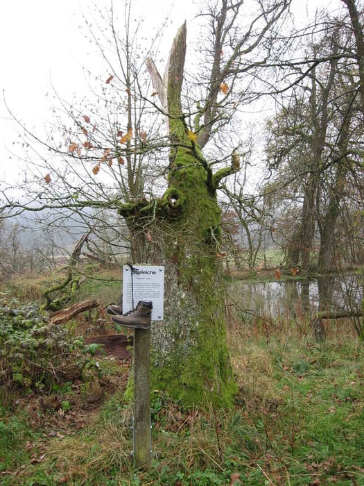
Bei trübem Novemberwetter (auch wenn es erst Ende Oktober ist) bringt mich die Rothaar-Bahn zum meinem Startbahnhof in Hilchenbach. Ein 6-köpfige Frauengruppe begleitet mich bei der ca. 20 minütigen Fahrt mit lautem Geplapper kühlen Sekt schlürfend. Die Ruhe am Bahnhof tut gut und ich starte sofort in Richtung Ruine Ginsburg. Es geht meist stetig bergan immer recht nah an den Gleisen der Bahn auch mal die Seite wechselnd bis zum Bahnhof "Vormwald". Von dort folgt nochmal eine ca. 4 km lange Runde, die zuerst zur "Ruine Ginsburg" führt, wo ich auf eine noch größere Frauengruppe treffe, die sich lautstark über ein schnapsähnliches Getränk hermacht. Die Tür der Burg ist verschlossen, sodass eine Besteigung des Turms nicht möglich ist. Also wandere ich weiter ca. 1 km auf dem "legendären" Rothaarsteig zum Hotel "Ginsberger Heide", wo ich mich bei einem leckeren Mittagessen wieder aufwärme. Frisch gestärkt schaffe ich jetzt auch noch die restlichen ca. 2,5 km zurück zum Bahnhof "Vormwald".
galéria trás
Mapa trasy a výškový profil
Minimum height 337 m
Maximum height 622 m
More about the tour author

|
komentáre

Start: Bahnhof Hilchenbach (gut mit der Rothaar-Bahn zu erreichen)
Ende: Bedarfshaltestelle Vormwald
Ende: Bedarfshaltestelle Vormwald
GPS trasy
Trackpoints-
GPX / Garmin Map Source (gpx) download
-
TCX / Garmin Training Center® (tcx) download
-
CRS / Garmin Training Center® (crs) download
-
Google Earth (kml) download
-
G7ToWin (g7t) download
-
TTQV (trk) download
-
Overlay (ovl) download
-
Fugawi (txt) download
-
Kompass (DAV) Track (tk) download
-
list trasy (pdf) download
-
Original file of the author (g7t) download
More about the tour author
|
|
Add to my favorites
Remove from my favorites
Edit tags
Open track
My score
Rate